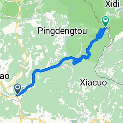
Ubike夜遊台北
A cycling route starting in Taipei, Taipei, Taiwan.
Overview
About this route
- -:--
- Duration
- 17.2 km
- Distance
- 74 m
- Ascent
- 82 m
- Descent
- ---
- Avg. speed
- ---
- Max. altitude
Route quality
Waytypes & surfaces along the route
Waytypes
- Pedestrian area - 4.5 km - (26 %) 
- Road - 4.1 km - (24 %) 
Surfaces
Paved
10.5 km
(61 %)
- Asphalt - 10.3 km - (60 %) 
- Paved (undefined) - 0.2 km - (1 %) 
- Undefined - 6.7 km - (39 %) 
Continue with Bikemap
Use, edit, or download this cycling route
You would like to ride Ubike夜遊台北 or customize it for your own trip? Here is what you can do with this Bikemap route:
Free features
- Save this route as favorite or in collections
- Copy & plan your own version of this route
- Sync your route with Garmin or Wahoo
Premium features
Free trial for 3 days, or one-time payment. More about Bikemap Premium.
- Navigate this route on iOS & Android
- Export a GPX / KML file of this route
- Create your custom printout (try it for free)
- Download this route for offline navigation
Discover more Premium features.
Get Bikemap PremiumFrom our community
Other popular routes starting in Taipei
 永和-淡水來回 永和-淡水來回- Distance
- 71.1 km
- Ascent
- 90 m
- Descent
- 81 m
- Location
- Taipei, Taipei, Taiwan
 
 中社爬坡路徑 中社爬坡路徑- Distance
- 4.3 km
- Ascent
- 294 m
- Descent
- 54 m
- Location
- Taipei, Taipei, Taiwan
 
 2010/11/02 南港昆陽站到五分山折返 練習路線圖 2010/11/02 南港昆陽站到五分山折返 練習路線圖- Distance
- 87.1 km
- Ascent
- 1,374 m
- Descent
- 1,374 m
- Location
- Taipei, Taipei, Taiwan
 
 P字道 P字道- Distance
- 76.1 km
- Ascent
- 2,461 m
- Descent
- 2,021 m
- Location
- Taipei, Taipei, Taiwan
 
 Sep.14,10-環大台北練習 Sep.14,10-環大台北練習- Distance
- 168.3 km
- Ascent
- 703 m
- Descent
- 703 m
- Location
- Taipei, Taipei, Taiwan
 
 腳踏車環島 2011/01/20~2011/01/31 腳踏車環島 2011/01/20~2011/01/31- Distance
- 1,239.7 km
- Ascent
- 1,590 m
- Descent
- 1,590 m
- Location
- Taipei, Taipei, Taiwan
 
 復興南路穿南港南深路轉景美溪回 復興南路穿南港南深路轉景美溪回- Distance
- 44.9 km
- Ascent
- 302 m
- Descent
- 304 m
- Location
- Taipei, Taipei, Taiwan
 
 信義河濱-故宮-平等里-冷水坑-二子坪-八拉卡-紅樹林-河濱-公館(O型) 信義河濱-故宮-平等里-冷水坑-二子坪-八拉卡-紅樹林-河濱-公館(O型)- Distance
- 84.1 km
- Ascent
- 1,319 m
- Descent
- 1,338 m
- Location
- Taipei, Taipei, Taiwan
 
Open it in the app

