
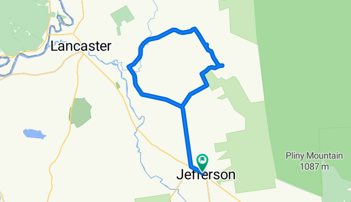
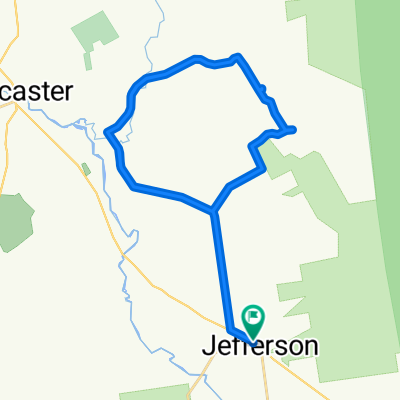
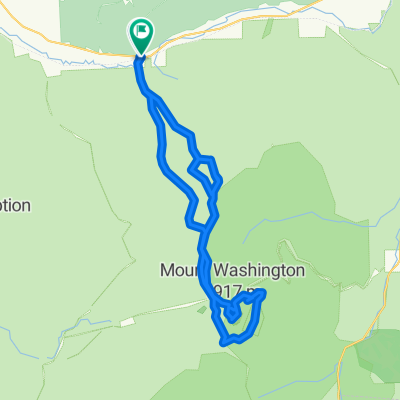
Jefferson/ Lost Nation loop.
A cycling route starting in Jefferson, New Hampshire, United States.
Overview
About this route
Stunning route to a beautiful valley, with a few hills thrown in. Minimal traffic
- -:--
- Duration
- 43.6 km
- Distance
- 464 m
- Ascent
- 464 m
- Descent
- ---
- Avg. speed
- ---
- Max. altitude
Route quality
Waytypes & surfaces along the route
Waytypes
Quiet road
40.9 km
(94 %)
Cycleway
1.4 km
(3 %)
Surfaces
Paved
31.1 km
(71 %)
Unpaved
9.8 km
(22 %)
Asphalt
30.4 km
(70 %)
Ground
9.8 km
(22 %)
Continue with Bikemap
Use, edit, or download this cycling route
You would like to ride Jefferson/ Lost Nation loop. or customize it for your own trip? Here is what you can do with this Bikemap route:
Free features
- Save this route as favorite or in collections
- Copy & plan your own version of this route
- Sync your route with Garmin or Wahoo
Premium features
Free trial for 3 days, or one-time payment. More about Bikemap Premium.
- Navigate this route on iOS & Android
- Export a GPX / KML file of this route
- Create your custom printout (try it for free)
- Download this route for offline navigation
Discover more Premium features.
Get Bikemap PremiumFrom our community
Other popular routes starting in Jefferson
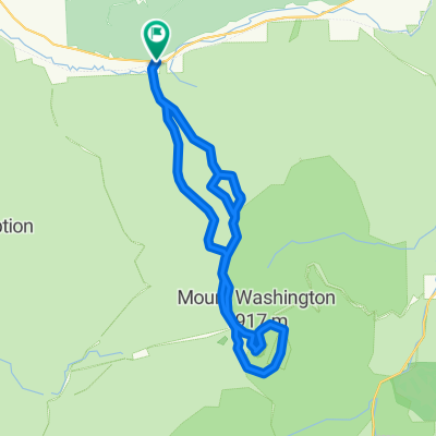 alpine
- Distance
- 32.1 km
- Ascent
- 2,166 m
- Descent
- 2,165 m
- Location
- Jefferson, New Hampshire, United States
 Jefferson/ Lost Nation loop.
- Distance
- 43.6 km
- Ascent
- 464 m
- Descent
- 464 m
- Location
- Jefferson, New Hampshire, United States
 alpine
- Distance
- 27.1 km
- Ascent
- 1,900 m
- Descent
- 1,964 m
- Location
- Jefferson, New Hampshire, United States
 alpine
- Distance
- 33.4 km
- Ascent
- 2,181 m
- Descent
- 2,180 m
- Location
- Jefferson, New Hampshire, United States
 alpine
- Distance
- 33.9 km
- Ascent
- 2,281 m
- Descent
- 2,280 m
- Location
- Jefferson, New Hampshire, United States
 alpine
- Distance
- 33.1 km
- Ascent
- 2,221 m
- Descent
- 2,220 m
- Location
- Jefferson, New Hampshire, United States
Open it in the app