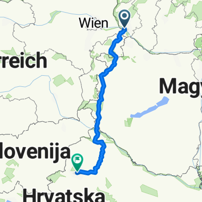
Trojhraničie
A cycling route starting in Bratislava, Bratislava Region, Slovakia.
Overview
About this route
- -:--
- Duration
- 61.5 km
- Distance
- 40 m
- Ascent
- 42 m
- Descent
- ---
- Avg. speed
- ---
- Max. altitude
Route quality
Waytypes & surfaces along the route
Waytypes
Cycleway
26.5 km
(43 %)
Road
12.3 km
(20 %)
Surfaces
Paved
54.2 km
(88 %)
Unpaved
5.5 km
(9 %)
Asphalt
50.5 km
(82 %)
Concrete
3.7 km
(6 %)
Continue with Bikemap
Use, edit, or download this cycling route
You would like to ride Trojhraničie or customize it for your own trip? Here is what you can do with this Bikemap route:
Free features
- Save this route as favorite or in collections
- Copy & plan your own version of this route
- Sync your route with Garmin or Wahoo
Premium features
Free trial for 3 days, or one-time payment. More about Bikemap Premium.
- Navigate this route on iOS & Android
- Export a GPX / KML file of this route
- Create your custom printout (try it for free)
- Download this route for offline navigation
Discover more Premium features.
Get Bikemap PremiumFrom our community
Other popular routes starting in Bratislava
Road: Kopce na železnej studničke- Distance
- 87.4 km
- Ascent
- 1,887 m
- Descent
- 1,882 m
- Location
- Bratislava, Bratislava Region, Slovakia
Popri rieke Morave- Distance
- 106.3 km
- Ascent
- 127 m
- Descent
- 127 m
- Location
- Bratislava, Bratislava Region, Slovakia
Okolo Dunaja cez Vojku- Distance
- 65.5 km
- Ascent
- 75 m
- Descent
- 75 m
- Location
- Bratislava, Bratislava Region, Slovakia
poobedňajšia 50ka BA-Bernolákovo a späť- Distance
- 50.3 km
- Ascent
- 47 m
- Descent
- 47 m
- Location
- Bratislava, Bratislava Region, Slovakia
na Veľký Javorník a späť- Distance
- 39.4 km
- Ascent
- 550 m
- Descent
- 550 m
- Location
- Bratislava, Bratislava Region, Slovakia
Okolo Hainburgských vŕškov- Distance
- 41 km
- Ascent
- 177 m
- Descent
- 178 m
- Location
- Bratislava, Bratislava Region, Slovakia
Milanova80tka- Distance
- 74.9 km
- Ascent
- 48 m
- Descent
- 48 m
- Location
- Bratislava, Bratislava Region, Slovakia
MTB: Okolo Devínskej kobyly- Distance
- 7.8 km
- Ascent
- 215 m
- Descent
- 308 m
- Location
- Bratislava, Bratislava Region, Slovakia
Open it in the app

