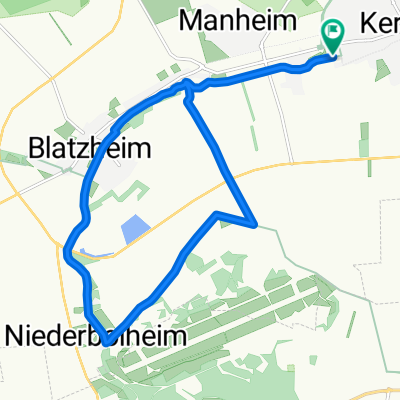
Kerpen - Mettmann
A cycling route starting in Kerpen, North Rhine-Westphalia, Germany.
Overview
About this route
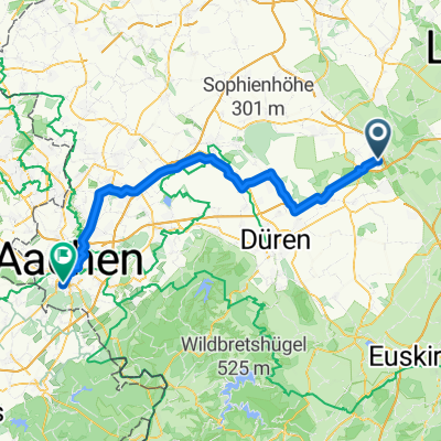
Starting from Kerpen, you leave the Emperor's Route and take a more direct path over Rommerskirchen to the Rhine. At Zons, you cross to the other side of the Rhine by ferry. After a short passage upstream, you head north through the Hilden City Forest to the Neander Valley. Here, you should take a break and enjoy the beautiful landscape on a walk; in the late afternoon, there are hardly any visitors in the NSG. It is not far to the day's destination at Mettmann.
- -:--
- Duration
- 74.3 km
- Distance
- 332 m
- Ascent
- 227 m
- Descent
- ---
- Avg. speed
- ---
- Max. altitude
Continue with Bikemap
Use, edit, or download this cycling route
You would like to ride Kerpen - Mettmann or customize it for your own trip? Here is what you can do with this Bikemap route:
Free features
- Save this route as favorite or in collections
- Copy & plan your own version of this route
- Sync your route with Garmin or Wahoo
Premium features
Free trial for 3 days, or one-time payment. More about Bikemap Premium.
- Navigate this route on iOS & Android
- Export a GPX / KML file of this route
- Create your custom printout (try it for free)
- Download this route for offline navigation
Discover more Premium features.
Get Bikemap PremiumFrom our community
Other popular routes starting in Kerpen
- Rund um Nörvenich
- Distance
- 40.1 km
- Ascent
- 78 m
- Descent
- 65 m
- Location
- Kerpen, North Rhine-Westphalia, Germany
- Kerpen - Mettmann
- Distance
- 74.3 km
- Ascent
- 332 m
- Descent
- 227 m
- Location
- Kerpen, North Rhine-Westphalia, Germany
- Erft-Radweg - von Sindorf zur Mündung
- Distance
- 59.5 km
- Ascent
- 27 m
- Descent
- 56 m
- Location
- Kerpen, North Rhine-Westphalia, Germany
- Kerpen - Boxmeer
- Distance
- 130.9 km
- Ascent
- 346 m
- Descent
- 412 m
- Location
- Kerpen, North Rhine-Westphalia, Germany
- Tagebau Rundtour
- Distance
- 52.1 km
- Ascent
- 91 m
- Descent
- 92 m
- Location
- Kerpen, North Rhine-Westphalia, Germany
- Erft-Radweg - von Sindorf zur Mündung
- Distance
- 34.5 km
- Ascent
- 4 m
- Descent
- 23 m
- Location
- Kerpen, North Rhine-Westphalia, Germany
- Ueber die Felder
- Distance
- 56 km
- Ascent
- 128 m
- Descent
- 111 m
- Location
- Kerpen, North Rhine-Westphalia, Germany
- Bergheimer Acht
- Distance
- 58.9 km
- Ascent
- 120 m
- Descent
- 146 m
- Location
- Kerpen, North Rhine-Westphalia, Germany
Open it in the app