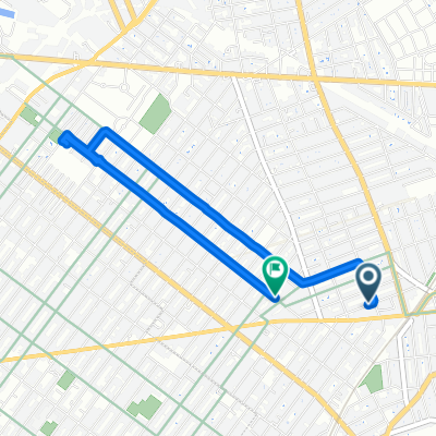
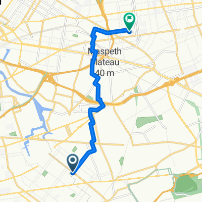
Day 6: Floyd Bennett Field to Washington Square Park Hotel
A cycling route starting in East New York, New York, United States of America.
Overview
About this route
- -:--
- Duration
- 25.5 km
- Distance
- 147 m
- Ascent
- 141 m
- Descent
- ---
- Avg. speed
- ---
- Avg. speed
Route quality
Waytypes & surfaces along the route
Waytypes
Quiet road
17.3 km
(68 %)
Cycleway
3.4 km
(13 %)
Surfaces
Paved
18.6 km
(73 %)
Asphalt
17.6 km
(69 %)
Concrete
1 km
(4 %)
Route highlights
Points of interest along the route
Point of interest after 21.4 km
Continue with Bikemap
Use, edit, or download this cycling route
You would like to ride Day 6: Floyd Bennett Field to Washington Square Park Hotel or customize it for your own trip? Here is what you can do with this Bikemap route:
Free features
- Save this route as favorite or in collections
- Copy & plan your own version of this route
- Sync your route with Garmin or Wahoo
Premium features
Free trial for 3 days, or one-time payment. More about Bikemap Premium.
- Navigate this route on iOS & Android
- Export a GPX / KML file of this route
- Create your custom printout (try it for free)
- Download this route for offline navigation
Discover more Premium features.
Get Bikemap PremiumFrom our community
Other popular routes starting in East New York
- NYC Century
- Distance
- 167.9 km
- Ascent
- 322 m
- Descent
- 321 m
- Location
- East New York, New York, United States of America
- Day 6: Floyd Bennett Field to Washington Square Park Hotel
- Distance
- 25.5 km
- Ascent
- 147 m
- Descent
- 141 m
- Location
- East New York, New York, United States of America
- Ridgewood Reservoir and the Many Cemeteries of Queens Route
- Distance
- 9.1 km
- Ascent
- 52 m
- Descent
- 58 m
- Location
- East New York, New York, United States of America
- Restful route in New York
- Distance
- 15.2 km
- Ascent
- 0 m
- Descent
- 3 m
- Location
- East New York, New York, United States of America
- Loopie
- Distance
- 40.2 km
- Ascent
- 52 m
- Descent
- 52 m
- Location
- East New York, New York, United States of America
- Shepherd Avenue 107 to Nostrand Avenue 2425
- Distance
- 11.4 km
- Ascent
- 77 m
- Descent
- 80 m
- Location
- East New York, New York, United States of America
- The Tastiest Shirley Chisholm State Park Route
- Distance
- 12.1 km
- Ascent
- 45 m
- Descent
- 56 m
- Location
- East New York, New York, United States of America
- Long ride through New York
- Distance
- 50.9 km
- Ascent
- 209 m
- Descent
- 208 m
- Location
- East New York, New York, United States of America