- 49 km
- 1,242 m
- 1,028 m
- Verrès, Aosta Valley, Italy
Colle Vert Enduro (Verres Aosta)
A cycling route starting in Verrès, Aosta Valley, Italy.
Overview
About this route
Section after Champurney unsure
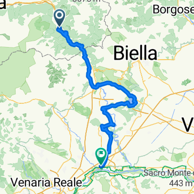
Route: (Verrès –) Omens – Champore – Colle Vert – Fornelle – Barmelongue – Avieil – Champurney – Prouve Ville – Arnad – Verrès
Tour description:
The tour starts in Omens, where you can drive up by car. Then you head immediately home in the steep climb, initially a few meters on asphalt, then many hairpin bends on dirt, 630 vertical meters up the hill. The Colle Vert is reached when turning right on the gravel lane to Fornelle. Incidentally, a nice view of the Matterhorn is always possible during the ascent. The descent then harmlessly begins on the gravel lane to Fornelle. Immediately after the last right hairpin before the first houses on the left starts the 2-Trail. The narrow path winds through the steep forest, hairpins alternating with fast sections and scooter passages, all very fluid but requiring necessary concentration. It crosses a small road, then the trail gets a bit rougher until reaching the hamlet Avieil below. Here you turn left and roll on the little road towards Champurney. The direct descent from here to Arnad is a bit boring. More exciting is the 3-Trail, which soon branches off right and tricky, rough and flowing winds down to the houses of Prouve Ville. It runs parallel to the main road then back to Verrès.
- -:--
- Duration
- 21.8 km
- Distance
- 1,024 m
- Ascent
- 1,025 m
- Descent
- ---
- Avg. speed
- ---
- Max. altitude
created this 9 years ago
Continue with Bikemap
Use, edit, or download this cycling route
You would like to ride Colle Vert Enduro (Verres Aosta) or customize it for your own trip? Here is what you can do with this Bikemap route:
Free features
- Save this route as favorite or in collections
- Copy & plan your own version of this route
- Sync your route with Garmin or Wahoo
Premium features
Free trial for 3 days, or one-time payment. More about Bikemap Premium.
- Navigate this route on iOS & Android
- Export a GPX / KML file of this route
- Create your custom printout (try it for free)
- Download this route for offline navigation
Discover more Premium features.
Get Bikemap PremiumFrom our community
Other popular routes starting in Verrès
- 7b) Fénis + hotel
- 2/6) Verrès- Cavaglià
- 62 km
- 648 m
- 761 m
- Verrès, Aosta Valley, Italy
- Verres-Ivrea.Viverone-Chivasso
- 113.3 km
- 441 m
- 624 m
- Verrès, Aosta Valley, Italy
- Zuccore, san pantaleone e Joux
- 108.1 km
- 3,543 m
- 3,551 m
- Verrès, Aosta Valley, Italy
- Tappa B03 - Da Verres a Roppolo
- 61.3 km
- 306 m
- 368 m
- Verrès, Aosta Valley, Italy
- Vall d'Ayas e Vall di Gressoney
- 94.3 km
- 2,267 m
- 2,267 m
- Verrès, Aosta Valley, Italy
- Colle Vert Enduro (Verres Aosta)
- 21.8 km
- 1,024 m
- 1,025 m
- Verrès, Aosta Valley, Italy
- Verrès - Roppolo - Vercelli - Mortara km 120,8
- 120.8 km
- 152 m
- 436 m
- Verrès, Aosta Valley, Italy
Open it in the app


