

環島遊
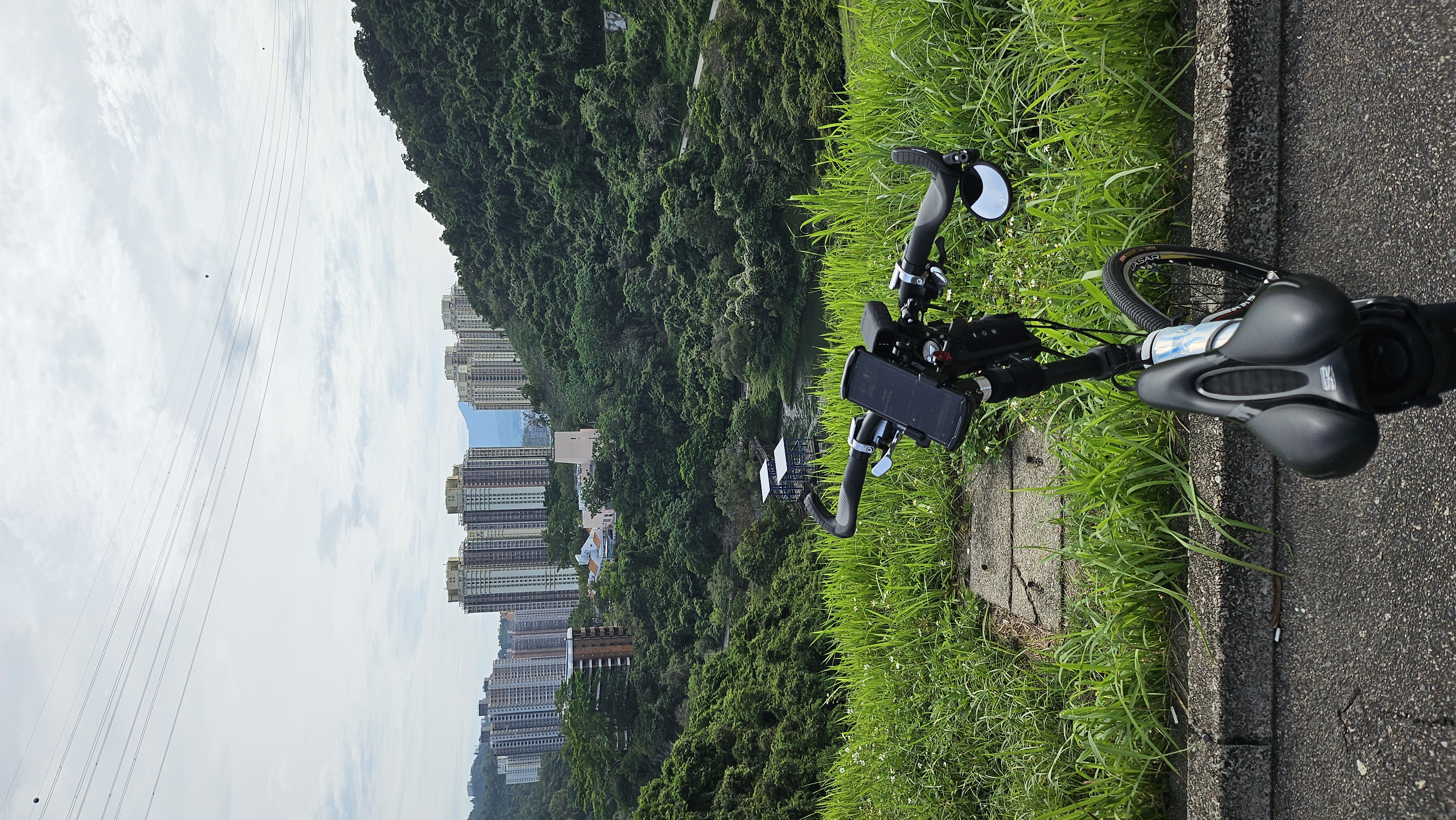
A cycling route starting in Shatin, Sha Tin, Hong Kong.
Overview
About this route
沙田廣源邨-->大圍-->積運街-->大埔公路沙田嶺段-->大埔公路琵琶山段-->歌和老街-->窩打老道-->聯合道-->太子道西-->馬頭涌道-->木廠街-->土瓜灣道-->馬頭圍道-->鸙園街-->紅磡道-->紅磡碼頭-->渡輪往中環-->民耀街-->干諾道中-->干諾道西-->東邊街-->德輔道西-->堅尼地城海傍-->域多利道-->沙灣徑-->數碼港道-->域多利道-->石排灣道-->香港仔海傍道-->黃竹坑道-->海洋公園道-->黃竹坑道-->香島道-->淺水灣道-->赤柱峽道-->大潭道-->柴灣道-->筲簧灣道-->康山道-->英皇道-->書局街-->北角碼頭-->渡輪往九龍城-->馬頭角道-->馬頭涌道-->太子道西-->聯合道-->歌和老街-->大埔公路琵琶山段-->大埔公路沙田嶺段-->積運街-->大圍-->沙田廣源邨
- -:--
- Duration
- 79.6 km
- Distance
- 845 m
- Ascent
- 845 m
- Descent
- ---
- Avg. speed
- ---
- Max. altitude

Continue with Bikemap
Use, edit, or download this cycling route
You would like to ride 環島遊 or customize it for your own trip? Here is what you can do with this Bikemap route:
Free features
- Save this route as favorite or in collections
- Copy & plan your own version of this route
- Sync your route with Garmin or Wahoo
Premium features
Free trial for 3 days, or one-time payment. More about Bikemap Premium.
- Navigate this route on iOS & Android
- Export a GPX / KML file of this route
- Create your custom printout (try it for free)
- Download this route for offline navigation
Discover more Premium features.
Get Bikemap PremiumFrom our community
Other popular routes starting in Shatin
 Shatin to TuenMun
- Distance
- 62.7 km
- Ascent
- 508 m
- Descent
- 516 m
- Location
- Shatin, Sha Tin, Hong Kong
 Moderate route
- Distance
- 29.9 km
- Ascent
- 644 m
- Descent
- 628 m
- Location
- Shatin, Sha Tin, Hong Kong
 科學園至船灣淡水湖
- Distance
- 37.1 km
- Ascent
- 71 m
- Descent
- 74 m
- Location
- Shatin, Sha Tin, Hong Kong
 Tai Wai to Tuen Mun 2.0
- Distance
- 57.8 km
- Ascent
- 713 m
- Descent
- 715 m
- Location
- Shatin, Sha Tin, Hong Kong
 Conquer Hong Kong Island from NT
- Distance
- 55.7 km
- Ascent
- 741 m
- Descent
- 738 m
- Location
- Shatin, Sha Tin, Hong Kong
 香港 - 大圍至大尾篤 CLONED FROM ROUTE 412577
- Distance
- 22.3 km
- Ascent
- 90 m
- Descent
- 101 m
- Location
- Shatin, Sha Tin, Hong Kong
 香港 - 大圍至大尾篤
- Distance
- 24.2 km
- Ascent
- 117 m
- Descent
- 111 m
- Location
- Shatin, Sha Tin, Hong Kong
 沙田-粉嶺-元朗-南生圍 2011-04-24
- Distance
- 91.2 km
- Ascent
- 189 m
- Descent
- 181 m
- Location
- Shatin, Sha Tin, Hong Kong
Open it in the app