18 Avenue du Général Leclerc, Saint-Florentin to 5 Rue des Trois Cailloux, Gurgy
- 34.4 km
- 46 m
- 79 m
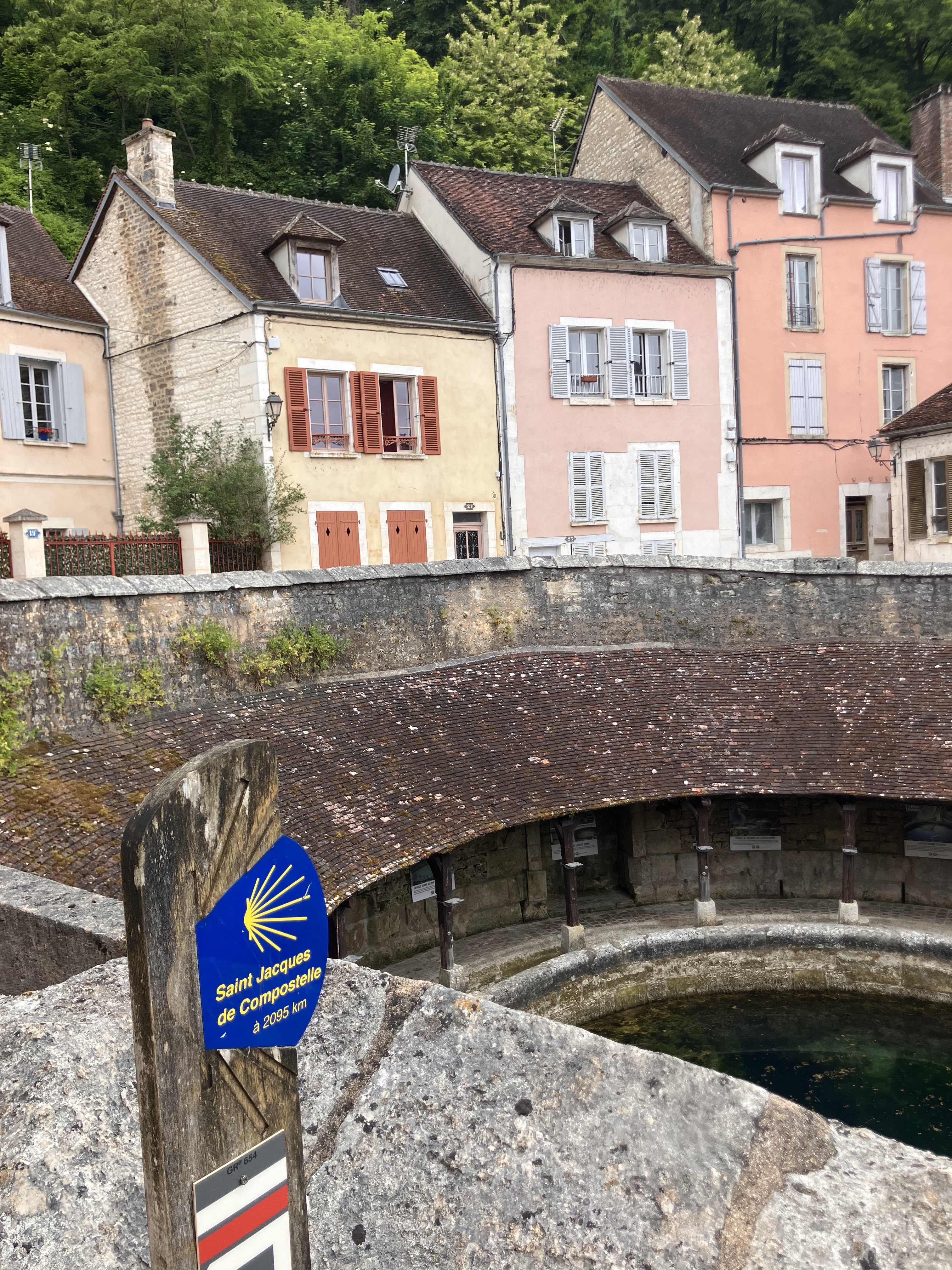
- Saint-Florentin, Bourgogne-Franche-Comté, France
A cycling route starting in Saint-Florentin, Bourgogne-Franche-Comté, France.
Overview
created this 9 years ago
Route quality
Road
41.7 km
(51 %)
Path
9.8 km
(12 %)
Paved
36 km
(44 %)
Unpaved
1.6 km
(2 %)
Asphalt
36 km
(44 %)
Loose gravel
1.6 km
(2 %)
Undefined
44.2 km
(54 %)
Route highlights
Hier konnten wir einen neuen Fahrrad- Mantel kaufen
Continue with Bikemap
You would like to ride 04 St -Florentine - Montbard 82 Km 560 Hm or customize it for your own trip? Here is what you can do with this Bikemap route:
Free trial for 3 days, or one-time payment. More about Bikemap Premium.
Discover more Premium features.
Get Bikemap PremiumFrom our community
Open it in the app