.738 mile kroger one way
- 1.2 km
- 40 m
- 13 m
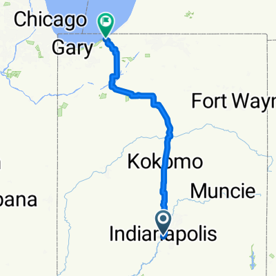
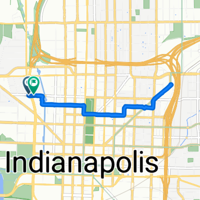
- Indianapolis, Indiana, United States
A cycling route starting in Indianapolis, Indiana, United States.
Overview
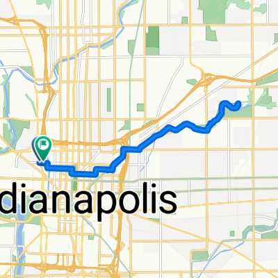
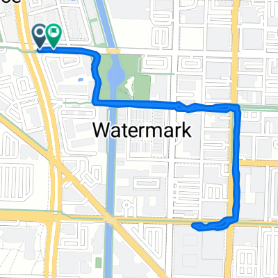
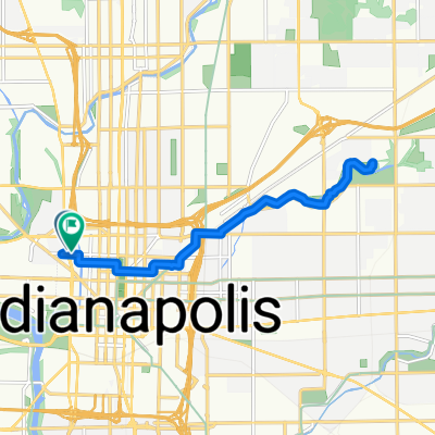
ride from mccarty to mimi blue's balls
Route quality
Cycleway
22.8 km
(89 %)
Pedestrian area
1 km
(4 %)
Paved
17.9 km
(70 %)
Asphalt
12.8 km
(50 %)
Paved (undefined)
4.6 km
(18 %)
Continue with Bikemap
You would like to ride New Eagle Creek Ride or customize it for your own trip? Here is what you can do with this Bikemap route:
Free trial for 3 days, or one-time payment. More about Bikemap Premium.
Discover more Premium features.
Get Bikemap PremiumFrom our community
Open it in the app