

La ''Ste Brigitte'' * - Vidauban - 12 juin 16
A cycling route starting in Gonfaron, Provence-Alpes-Côte d'Azur Region, France.
Overview
About this route
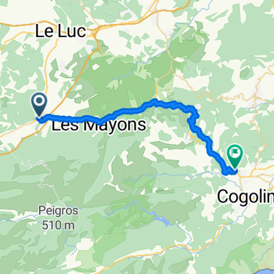
Gonfaron - Le Luc - Vidauban © ( départ rando ) - Les Mayons - Gonfaron - D11 ''Voie Royale'' * - N.D. des Anges ( 760 m ) - Col des Fourches ( 535 m ) - Collobrières ( Est ) - Col de Taillude ( 411 m ) - Capelude - Col du Périer ( 350 m ) - Pont de Bois ( la Giscle ) - Grimaud © ( Rav.) - Reverdi - Corruero - Plan de la Tour - Col de Vignon ( 352 m ) - La Moure - Vidauban © ( arrivée Rando ) - Lorgues - Pont d'Argens - Le Thoronet ( B.P.F.) - Abbaye du Thoronet - Cabasse - Flassans - Gonfaron.
- -:--
- Duration
- 174.3 km
- Distance
- 1,585 m
- Ascent
- 1,584 m
- Descent
- ---
- Avg. speed
- ---
- Max. altitude

Route quality
Waytypes & surfaces along the route
Waytypes
Busy road
89.7 km
(51 %)
Road
61.9 km
(36 %)
Surfaces
Paved
108 km
(62 %)
Asphalt
107.8 km
(62 %)
Paved (undefined)
0.2 km
(<1 %)
Undefined
66.4 km
(38 %)
Continue with Bikemap
Use, edit, or download this cycling route
You would like to ride La ''Ste Brigitte'' * - Vidauban - 12 juin 16 or customize it for your own trip? Here is what you can do with this Bikemap route:
Free features
- Save this route as favorite or in collections
- Copy & plan your own version of this route
- Split it into stages to create a multi-day tour
- Sync your route with Garmin or Wahoo
Premium features
Free trial for 3 days, or one-time payment. More about Bikemap Premium.
- Navigate this route on iOS & Android
- Export a GPX / KML file of this route
- Create your custom printout (try it for free)
- Download this route for offline navigation
Discover more Premium features.
Get Bikemap PremiumFrom our community
Other popular routes starting in Gonfaron
 circuit du var - st.tropez
- Distance
- 36.7 km
- Ascent
- 394 m
- Descent
- 527 m
- Location
- Gonfaron, Provence-Alpes-Côte d'Azur Region, France
 De 94 Avenue du Maréchal Foch, Gonfaron à 14 Rue de la Mairie, Grimaud
- Distance
- 29.8 km
- Ascent
- 433 m
- Descent
- 499 m
- Location
- Gonfaron, Provence-Alpes-Côte d'Azur Region, France
 Col de Fourche - Grimaud
- Distance
- 25.5 km
- Ascent
- 935 m
- Descent
- 1,153 m
- Location
- Gonfaron, Provence-Alpes-Côte d'Azur Region, France
 ETAPE 6 NDA - COLLOBRIERES - PIERREFEU
- Distance
- 31.2 km
- Ascent
- 77 m
- Descent
- 767 m
- Location
- Gonfaron, Provence-Alpes-Côte d'Azur Region, France
 ETAPE 3 GONFARON - LES FOURCHES
- Distance
- 23.2 km
- Ascent
- 670 m
- Descent
- 675 m
- Location
- Gonfaron, Provence-Alpes-Côte d'Azur Region, France
 13 Avenue Jean Aicard, Gonfaron nach Le Vieux Cannet, Le Cannet-des-Maures
- Distance
- 13.9 km
- Ascent
- 166 m
- Descent
- 90 m
- Location
- Gonfaron, Provence-Alpes-Côte d'Azur Region, France
 ETAPE 5 GONFARON - LA VOIE ROYALE
- Distance
- 23.1 km
- Ascent
- 650 m
- Descent
- 650 m
- Location
- Gonfaron, Provence-Alpes-Côte d'Azur Region, France
 Gonfaron Cycling
- Distance
- 25.4 km
- Ascent
- 36 m
- Descent
- 715 m
- Location
- Gonfaron, Provence-Alpes-Côte d'Azur Region, France
Open it in the app