

Aberdeen-Southhampton 2016
A cycling route starting in Dyce, Scotland, United Kingdom.
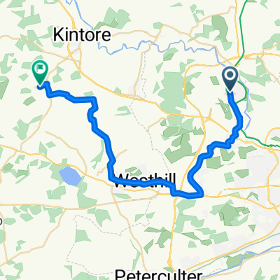
Overview
About this route
Die Sommertour 2016
- -:--
- Duration
- 1,689.6 km
- Distance
- 2,232 m
- Ascent
- 2,271 m
- Descent
- ---
- Avg. speed
- ---
- Max. altitude

Route quality
Waytypes & surfaces along the route
Waytypes
Quiet road
523.3 km
(31 %)
Road
412.4 km
(24 %)
Surfaces
Paved
572.6 km
(34 %)
Unpaved
118.4 km
(7 %)
Asphalt
496 km
(29 %)
Gravel
93.3 km
(6 %)
Route highlights
Points of interest along the route
Point of interest after 42.8 km
Day 1
Point of interest after 165.2 km
Day 2
Point of interest after 261.3 km
Day 3
Point of interest after 370.2 km
Day 5
Point of interest after 455.5 km
Day 6
Point of interest after 550.8 km
Day 6
Point of interest after 709.4 km
Day 8
Point of interest after 792.2 km
Day 9
Point of interest after 877.7 km
Day 10
Point of interest after 984.3 km
Day 11
Continue with Bikemap
Use, edit, or download this cycling route
You would like to ride Aberdeen-Southhampton 2016 or customize it for your own trip? Here is what you can do with this Bikemap route:
Free features
- Save this route as favorite or in collections
- Copy & plan your own version of this route
- Split it into stages to create a multi-day tour
- Sync your route with Garmin or Wahoo
Premium features
Free trial for 3 days, or one-time payment. More about Bikemap Premium.
- Navigate this route on iOS & Android
- Export a GPX / KML file of this route
- Create your custom printout (try it for free)
- Download this route for offline navigation
Discover more Premium features.
Get Bikemap PremiumFrom our community
Other popular routes starting in Dyce
 Dyce Aberdeen
- Distance
- 12.2 km
- Ascent
- 97 m
- Descent
- 129 m
- Location
- Dyce, Scotland, United Kingdom
 Argyll Road 27 to Station Road
- Distance
- 71.2 km
- Ascent
- 477 m
- Descent
- 520 m
- Location
- Dyce, Scotland, United Kingdom
 dyce
dyce- Distance
- 26 km
- Ascent
- 230 m
- Descent
- 179 m
- Location
- Dyce, Scotland, United Kingdom
 BOD to Port Elphinstone
- Distance
- 23.5 km
- Ascent
- 201 m
- Descent
- 224 m
- Location
- Dyce, Scotland, United Kingdom
 Chicken's route to work
- Distance
- 10.4 km
- Ascent
- 64 m
- Descent
- 126 m
- Location
- Dyce, Scotland, United Kingdom
 Aberdee-Southhampton
- Distance
- 1,565.3 km
- Ascent
- 1,824 m
- Descent
- 1,863 m
- Location
- Dyce, Scotland, United Kingdom
 Route from Argyll Road 27
- Distance
- 73.8 km
- Ascent
- 611 m
- Descent
- 657 m
- Location
- Dyce, Scotland, United Kingdom
 Persley
- Distance
- 15.3 km
- Ascent
- 150 m
- Descent
- 187 m
- Location
- Dyce, Scotland, United Kingdom
Open it in the app