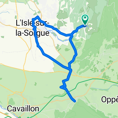

Fontaine de Vaucluse a pied
- 6.2 km
- 360 m
- 360 m
- Lagnes, Provence-Alpes-Côte d'Azur Region, France
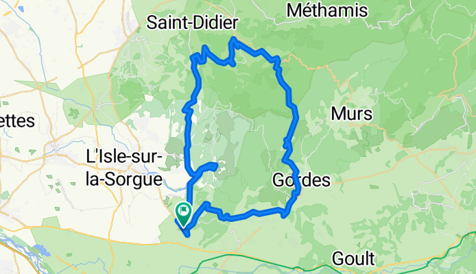
TEASI track
Road
42.2 km81 %Quiet road
4.7 km9 %Paved
40.6 km(78 %)Asphalt
40.6 km78 %Undefined
11.5 km22 %Free trial for 3 days, or one-time payment. More about Bikemap Premium.
Discover more Premium features.
Get Bikemap PremiumOpen it in the app