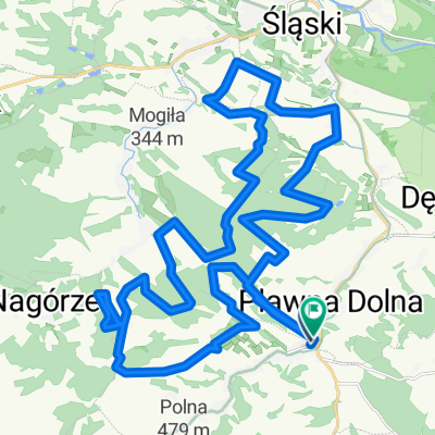
Oleszna Podgorska - Gryfow Sl. - Burg Czocha - Mirsk - Lubomierz
- 52.8 km
- 399 m
- 399 m
- Lubomierz, Lower Silesian Voivodeship, Poland
A cycling route starting in Lubomierz, Lower Silesian Voivodeship, Poland.
Overview
created this 9 years ago
Route quality
Road
17.4 km
(33 %)
Quiet road
15.8 km
(30 %)
Paved
21.1 km
(40 %)
Unpaved
10.6 km
(20 %)
Asphalt
20.6 km
(39 %)
Ground
6.3 km
(12 %)
Route highlights
Kapelle
Schloss Rajsko
Burg Czocha
Tunnel
Staumauer
Ruine Evangelische Kirche
Kirche Zwiastownaia
Continue with Bikemap
You would like to ride Oleszna Podgorska - Gryfow Sl. - Burg Czocha - Mirsk - Lubomierz or customize it for your own trip? Here is what you can do with this Bikemap route:
Free trial for 3 days, or one-time payment. More about Bikemap Premium.
Discover more Premium features.
Get Bikemap PremiumFrom our community
Open it in the app