

12-Strudelkoepfe-Schneeschuh
A cycling route starting in Braies, Trentino-Alto Adige, Italy.
Overview
About this route
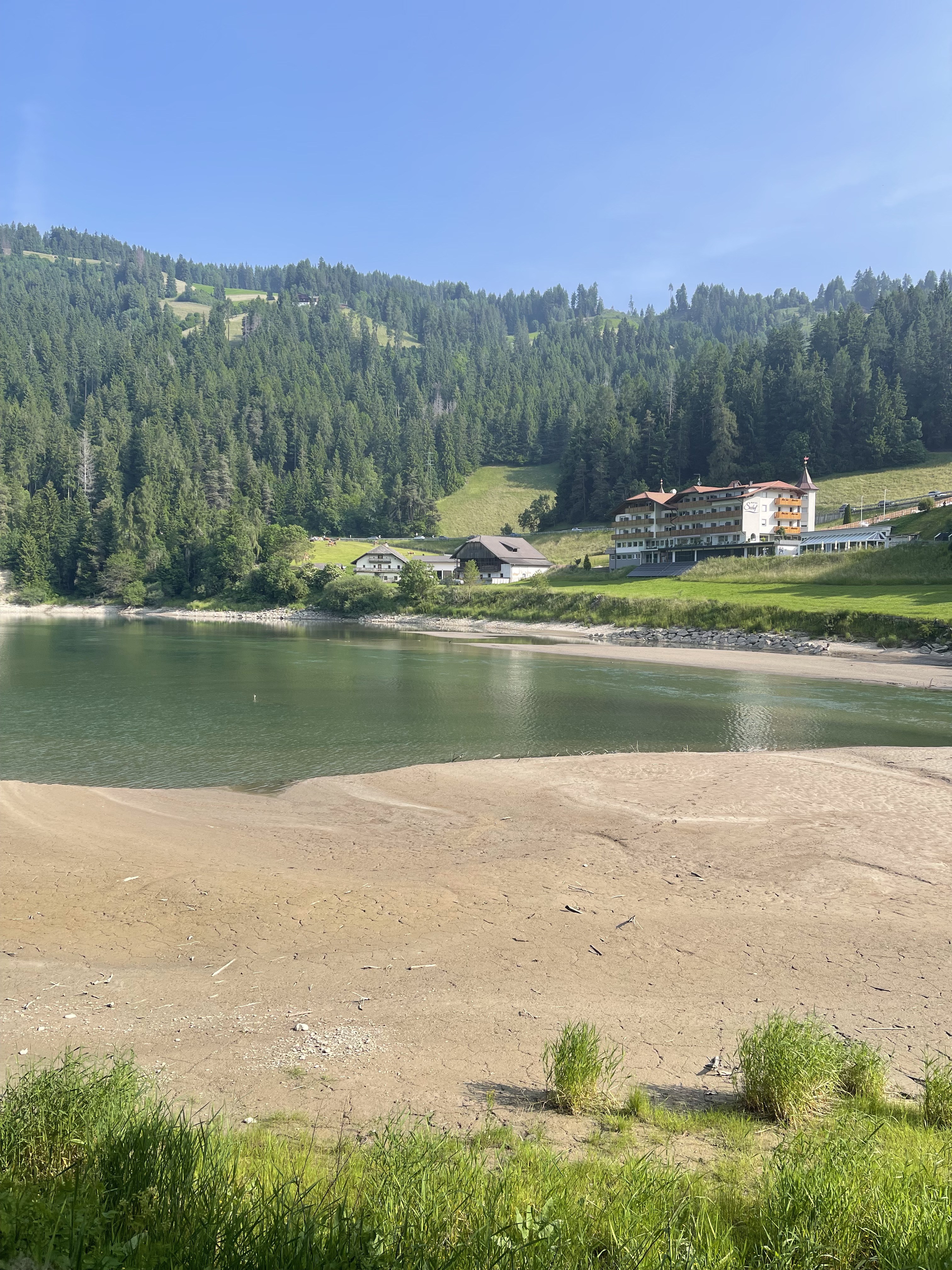
Easily accessible lookout with a view of the Three Peaks. This popular snowshoe hike leads over the romantic high plateau of Plätzwiese with its loose larch forest, between Dürrenstein on the left and Hoher Gaisl on the right. To the east, the Sexten Dolomites define the horizon, and to the southeast, the impressive Cristallo: a true dream tour! At the Heimkehrerkreuz, the highest point of the Strudelköpfe, we reach the highlight of this tour: the view of the north faces of the Three Peaks. To fully enjoy the beautiful landscape, we begin our way with the ascent to Plätzwiese through the romantic and solitary Stollatal valley. With the shuttle bus to Plätzwiese, the hike to the Strudelköpfe can be shortened to a half-day tour. Requirements: In Stollatal, short steep steps, otherwise easy snowshoe hike in mostly gentle terrain. Notes: Exposure: In Stollatal predominantly north, at Plätzwiese predominantly southwest, briefly west. Avalanche danger: Rarely avalanche prone. Suitable tour book: Südtirol Ost, Bergverlag Rother ISBN: 978-3-7633-5807-6.
- -:--
- Duration
- 18.5 km
- Distance
- 836 m
- Ascent
- 836 m
- Descent
- ---
- Avg. speed
- ---
- Max. altitude
Route highlights
Points of interest along the route

Point of interest after 5.2 km
Berggasthof Plätzwiese Bildquelle: sentres.com

Point of interest after 7.4 km
Dürrensteinhütte Plätzwiese 71, I-39030 PRAGS, Südtirol. Tel./Fax: +39/0474/972505; Handy: +393463242967 Bildquelle: vallandro.it

Point of interest after 9.3 km
Strudelkopf mit Heimkehrerkreuz Bildquelle: hochpustertal.net

Point of interest after 14.4 km
Stolla Alm Sicht auf die verschneite Stolla Alm im Naturpark Fanes-Sennes-Prags auf einer Höhe von 1.950m über dem Meeresspiegel, erreichbar über einen Wandersteig von Plätzwiese aus. Bilsd-/Textquelle: miaaltapusteria.it
Continue with Bikemap
Use, edit, or download this cycling route
You would like to ride 12-Strudelkoepfe-Schneeschuh or customize it for your own trip? Here is what you can do with this Bikemap route:
Free features
- Save this route as favorite or in collections
- Copy & plan your own version of this route
- Sync your route with Garmin or Wahoo
Premium features
Free trial for 3 days, or one-time payment. More about Bikemap Premium.
- Navigate this route on iOS & Android
- Export a GPX / KML file of this route
- Create your custom printout (try it for free)
- Download this route for offline navigation
Discover more Premium features.
Get Bikemap PremiumFrom our community
Other popular routes starting in Braies
 Szállás - Misurina
- Distance
- 54.9 km
- Ascent
- 654 m
- Descent
- 687 m
- Location
- Braies, Trentino-Alto Adige, Italy
 12-Strudelkoepfe-Schneeschuh
- Distance
- 18.5 km
- Ascent
- 836 m
- Descent
- 836 m
- Location
- Braies, Trentino-Alto Adige, Italy
 Anello Lago di Braies, Braies a Via Furcia, Valdaora
- Distance
- 26.2 km
- Ascent
- 746 m
- Descent
- 633 m
- Location
- Braies, Trentino-Alto Adige, Italy
 Furkelsattel
- Distance
- 49.1 km
- Ascent
- 1,594 m
- Descent
- 1,594 m
- Location
- Braies, Trentino-Alto Adige, Italy
 Recording from 8 Gennaio 15:15
- Distance
- 3.7 km
- Ascent
- 56 m
- Descent
- 330 m
- Location
- Braies, Trentino-Alto Adige, Italy
 Strudelkopftour
- Distance
- 73.9 km
- Ascent
- 1,167 m
- Descent
- 1,470 m
- Location
- Braies, Trentino-Alto Adige, Italy
 Da Schmieden Ferrara Frazione Braies di Dentro - Lago di Braies
- Distance
- 14.5 km
- Ascent
- 345 m
- Descent
- 348 m
- Location
- Braies, Trentino-Alto Adige, Italy
 Braies-Pratopiazza-Specie-Landro
- Distance
- 21.8 km
- Ascent
- 1,381 m
- Descent
- 1,466 m
- Location
- Braies, Trentino-Alto Adige, Italy
Open it in the app