Tour de cèdres
A cycling route starting in Les Cèdres, Quebec, Canada.
Overview
About this route
Tour de cèdres
- -:--
- Duration
- 51.6 km
- Distance
- 59 m
- Ascent
- 47 m
- Descent
- ---
- Avg. speed
- ---
- Max. altitude
Continue with Bikemap
Use, edit, or download this cycling route
You would like to ride Tour de cèdres or customize it for your own trip? Here is what you can do with this Bikemap route:
Free features
- Save this route as favorite or in collections
- Copy & plan your own version of this route
- Sync your route with Garmin or Wahoo
Premium features
Free trial for 3 days, or one-time payment. More about Bikemap Premium.
- Navigate this route on iOS & Android
- Export a GPX / KML file of this route
- Create your custom printout (try it for free)
- Download this route for offline navigation
Discover more Premium features.
Get Bikemap PremiumFrom our community
Other popular routes starting in Les Cèdres
- Valleyfield 2
- Distance
- 66.5 km
- Ascent
- 80 m
- Descent
- 80 m
- Location
- Les Cèdres, Quebec, Canada
- La Boucle des 4 Canaux de chez andre
- Distance
- 33.1 km
- Ascent
- 67 m
- Descent
- 65 m
- Location
- Les Cèdres, Quebec, Canada
- trajet à pied
- Distance
- 5.9 km
- Ascent
- 29 m
- Descent
- 31 m
- Location
- Les Cèdres, Quebec, Canada
- Tour de cèdres
- Distance
- 51.6 km
- Ascent
- 59 m
- Descent
- 47 m
- Location
- Les Cèdres, Quebec, Canada
- St-Louis gonzague
- Distance
- 47.7 km
- Ascent
- 18 m
- Descent
- 21 m
- Location
- Les Cèdres, Quebec, Canada
- De Rue Albert 49, Salaberry-de-Valleyfield à Rue Albert 44, Salaberry-de-Valleyfield
- Distance
- 26.3 km
- Ascent
- 29 m
- Descent
- 29 m
- Location
- Les Cèdres, Quebec, Canada
- 100 km challenge for end of May
- Distance
- 67.1 km
- Ascent
- 136 m
- Descent
- 138 m
- Location
- Les Cèdres, Quebec, Canada
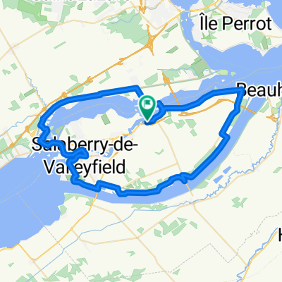
- Moderate route in Saint-Louis-de-Gonzague
- Distance
- 56.5 km
- Ascent
- 94 m
- Descent
- 93 m
- Location
- Les Cèdres, Quebec, Canada
Open it in the app