- 15.2 km
- 250 m
- 228 m
- Steyr, Upper Austria, Austria
Steyr - Weyer - Maria Neustift
A cycling route starting in Steyr, Upper Austria, Austria.
Overview
About this route
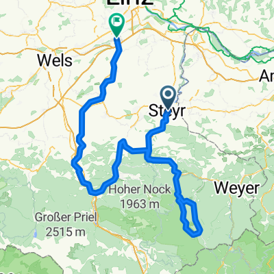
Diese Tour geht über Garsten ins Ennstal bis nach Weyer. Dort gehts links Richtung Gaflenz leicht bergauf. Vor Gaflenz biegt man nochmal links ab und hat einen 300hm Anstieg vor sich. Oben angekommen fährt man links den Berg runter und erreicht nach einer weiteren "Bergwertung" Maria Neustift. Anschließend geht es im Ramingtal fast durchgehend leicht bergab bis nach Kleinraming, wo man links Richtung Gasthaus Nell abbiegt und nochmal einen "Berg" hochfährt. Danach über St.Ulrich bergab nach Steyr zurückrollt.
- -:--
- Duration
- 86.4 km
- Distance
- 1,139 m
- Ascent
- 1,058 m
- Descent
- ---
- Avg. speed
- 733 m
- Max. altitude
created this 18 years ago
Route quality
Waytypes & surfaces along the route
Waytypes
Road
25.1 km
(29 %)
Quiet road
6.9 km
(8 %)
Surfaces
Paved
65.7 km
(76 %)
Asphalt
58.7 km
(68 %)
Paved (undefined)
6.9 km
(8 %)
Undefined
20.7 km
(24 %)
Continue with Bikemap
Use, edit, or download this cycling route
You would like to ride Steyr - Weyer - Maria Neustift or customize it for your own trip? Here is what you can do with this Bikemap route:
Free features
- Save this route as favorite or in collections
- Copy & plan your own version of this route
- Split it into stages to create a multi-day tour
- Sync your route with Garmin or Wahoo
Premium features
Free trial for 3 days, or one-time payment. More about Bikemap Premium.
- Navigate this route on iOS & Android
- Export a GPX / KML file of this route
- Create your custom printout (try it for free)
- Download this route for offline navigation
Discover more Premium features.
Get Bikemap PremiumFrom our community
Other popular routes starting in Steyr
- Arnhalmweg 10 c nach Rohrbach
- Hintergebirge-1.2
- 172.6 km
- 4,434 m
- 4,461 m
- Steyr, Upper Austria, Austria
- Hafner-Straße Enns
- 25.2 km
- 176 m
- 217 m
- Steyr, Upper Austria, Austria
- Von Steyr bis Garsten
- 40.5 km
- 911 m
- 917 m
- Steyr, Upper Austria, Austria
- Martin's schnelle Runde
- 24.1 km
- 747 m
- 766 m
- Steyr, Upper Austria, Austria
- Steyr - OÖ Enns mit Mündung - NÖ - Steyr
- 73.8 km
- 522 m
- 522 m
- Steyr, Upper Austria, Austria
- Traunviertel Tour - Etappe 1
- 53.2 km
- 766 m
- 603 m
- Steyr, Upper Austria, Austria
- Kematmüllerstraße 1b nach Stadtplatz
- 6.6 km
- 125 m
- 107 m
- Steyr, Upper Austria, Austria
Open it in the app


