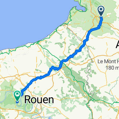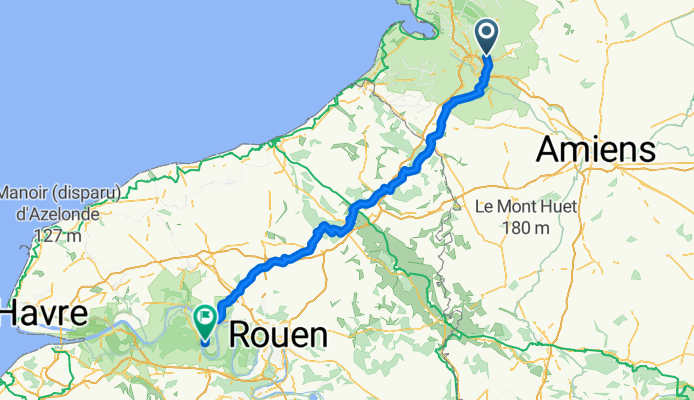


1 Place de l'Église, Saint-Riquier nach 10 Rue du Pont, Eaucourt-sur-Somme
- 16.4 km
- 55 m
- 87 m
- Saint-Riquier, Hauts-de-France, France
A cycling route starting in Saint-Riquier, Hauts-de-France, France.
Overview
Ride day 2
created this 9 years ago
Route quality
Road
71.9 km
(51 %)
Quiet road
47.9 km
(34 %)
Paved
28.2 km
(20 %)
Unpaved
7 km
(5 %)
Asphalt
28.2 km
(20 %)
Ground
2.8 km
(2 %)
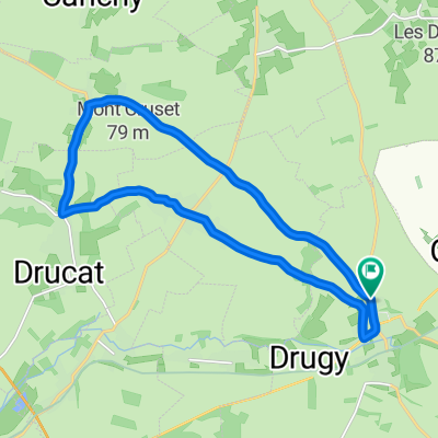
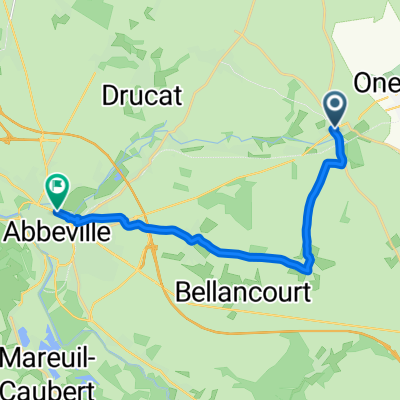
Route highlights
eerste controlepunt
tweede controlepunt
derde controlepunt
Continue with Bikemap
You would like to ride Caours - Jumieges or customize it for your own trip? Here is what you can do with this Bikemap route:
Free trial for 3 days, or one-time payment. More about Bikemap Premium.
Discover more Premium features.
Get Bikemap PremiumFrom our community
Open it in the app