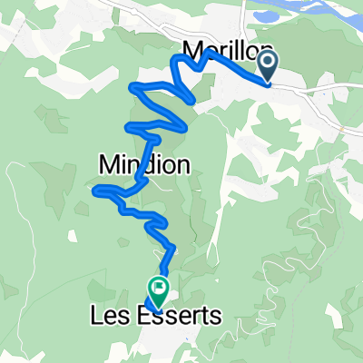
De Route de Sixt 523, Samoëns à Impasse de sous la Ville 90, Samoëns
- 31.1 km
- 282 m
- 339 m
- Samoëns, Auvergne-Rhône-Alpes, France
A cycling route starting in Samoëns, Auvergne-Rhône-Alpes, France.
Overview
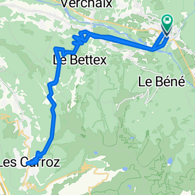
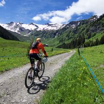
Very steep, unpaved road to Lac de Gers. I marked where road ends. Hiked higher from tere.
created this 9 years ago


Route highlights
Lac de Gers
ROAD ENDS
Continue with Bikemap
You would like to ride Lac de Gers and above or customize it for your own trip? Here is what you can do with this Bikemap route:
Free trial for 3 days, or one-time payment. More about Bikemap Premium.
Discover more Premium features.
Get Bikemap PremiumFrom our community
Open it in the app