plan j4
- 95.1 km
- 98 m
- 26 m
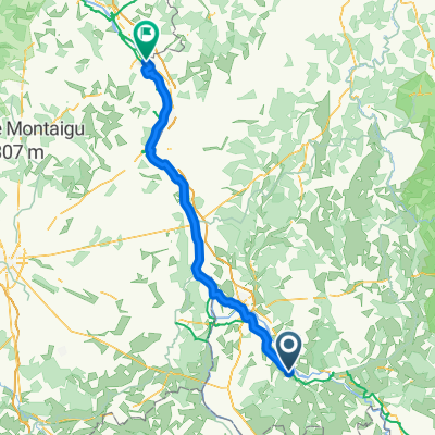
- Saint-Léger-des-Vignes, Bourgogne-Franche-Comté, France
A cycling route starting in Saint-Léger-des-Vignes, Bourgogne-Franche-Comté, France.
Overview
Arrivée à Moloy
created this 9 years ago
Route quality
Road
102.1 km
56 %
Quiet road
32.8 km
18 %
Paved
51 km
(28 %)
Unpaved
1.8 km
(1 %)
Asphalt
51 km
28 %
Loose gravel
1.8 km
1 %
Undefined
129.4 km
71 %
Continue with Bikemap
You would like to ride Parc du Morvan or customize it for your own trip? Here is what you can do with this Bikemap route:
Free trial for 3 days, or one-time payment. More about Bikemap Premium.
Discover more Premium features.
Get Bikemap PremiumFrom our community
Open it in the app