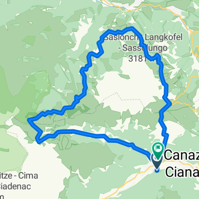
GTA1 J5 Campitello - Fai della Paganella
A cycling route starting in Campitello di Fassa, Trentino-Alto Adige, Italy.
Overview
About this route
Parcours du cinquième jour version Vélorizons.
- -:--
- Duration
- 107.6 km
- Distance
- 985 m
- Ascent
- 1,385 m
- Descent
- ---
- Avg. speed
- ---
- Avg. speed
Route quality
Waytypes & surfaces along the route
Waytypes
Busy road
72.8 km
(68 %)
Quiet road
16.8 km
(16 %)
Surfaces
Paved
69.3 km
(64 %)
Unpaved
2.2 km
(2 %)
Asphalt
68.9 km
(64 %)
Gravel
1.7 km
(2 %)
Continue with Bikemap
Use, edit, or download this cycling route
You would like to ride GTA1 J5 Campitello - Fai della Paganella or customize it for your own trip? Here is what you can do with this Bikemap route:
Free features
- Save this route as favorite or in collections
- Copy & plan your own version of this route
- Split it into stages to create a multi-day tour
- Sync your route with Garmin or Wahoo
Premium features
Free trial for 3 days, or one-time payment. More about Bikemap Premium.
- Navigate this route on iOS & Android
- Export a GPX / KML file of this route
- Create your custom printout (try it for free)
- Download this route for offline navigation
Discover more Premium features.
Get Bikemap PremiumFrom our community
Other popular routes starting in Campitello di Fassa
- Sella Ronda
- Distance
- 69.2 km
- Ascent
- 2,343 m
- Descent
- 2,343 m
- Location
- Campitello di Fassa, Trentino-Alto Adige, Italy
- Day 5
- Distance
- 88.5 km
- Ascent
- 2,323 m
- Descent
- 2,409 m
- Location
- Campitello di Fassa, Trentino-Alto Adige, Italy
- Campitello di Fassa Fedaia Pass Pelegrino Pass Campitello
- Distance
- 88.4 km
- Ascent
- 1,983 m
- Descent
- 1,983 m
- Location
- Campitello di Fassa, Trentino-Alto Adige, Italy
- sasso lungo
- Distance
- 37.2 km
- Ascent
- 1,477 m
- Descent
- 1,478 m
- Location
- Campitello di Fassa, Trentino-Alto Adige, Italy
- Sella Ronda - clockwise
- Distance
- 69.8 km
- Ascent
- 2,137 m
- Descent
- 2,926 m
- Location
- Campitello di Fassa, Trentino-Alto Adige, Italy
- CAMPITELLO - PASSO LAVAZE - NOVA LEVANTE - CAREZZA - COSTALUNGA - CAMPITELLO
- Distance
- 90.6 km
- Ascent
- 2,636 m
- Descent
- 2,674 m
- Location
- Campitello di Fassa, Trentino-Alto Adige, Italy
- giro della Val Duron
- Distance
- 32.6 km
- Ascent
- 869 m
- Descent
- 1,838 m
- Location
- Campitello di Fassa, Trentino-Alto Adige, Italy
- CAMPITELLO - PREDAZZO - VALLES - SAN PELLEGRINO - MOENA - CAMPITELLO
- Distance
- 85.4 km
- Ascent
- 2,011 m
- Descent
- 2,140 m
- Location
- Campitello di Fassa, Trentino-Alto Adige, Italy
Open it in the app