47.760, 11.549 nach 47.771, 11.557
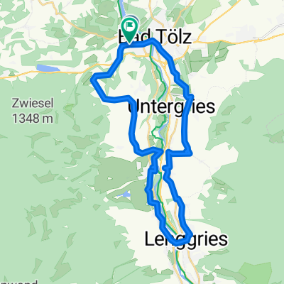
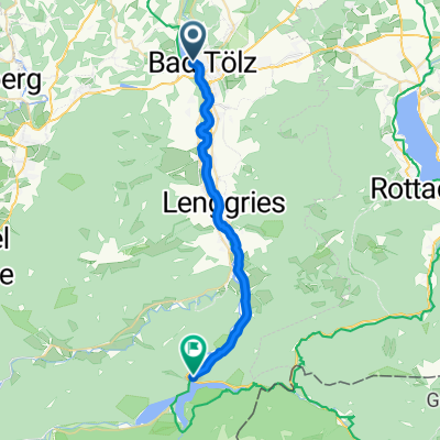
- 55.5 km
- 769 m
- 761 m
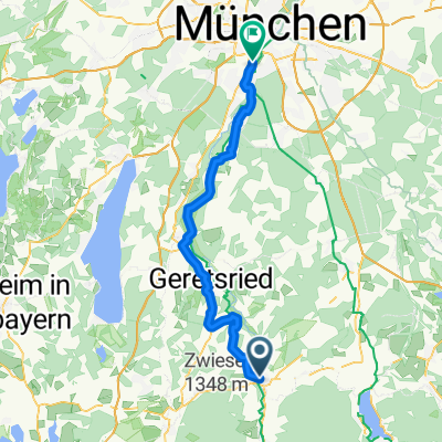
- Bad Tölz, Bavaria, Germany
A cycling route starting in Bad Tölz, Bavaria, Germany.
Overview
Bahnhofplatz 8, 83646 Bad Tölz
Miesbach Bräuwirt 09:00 - 23:00 hours Wednesday closed for rest
created this 16 years ago
Route quality
Quiet road
35.6 km
(59 %)
Road
11.5 km
(19 %)
Paved
55.5 km
(92 %)
Unpaved
1.8 km
(3 %)
Asphalt
55.5 km
(92 %)
Loose gravel
1.8 km
(3 %)
Undefined
3 km
(5 %)
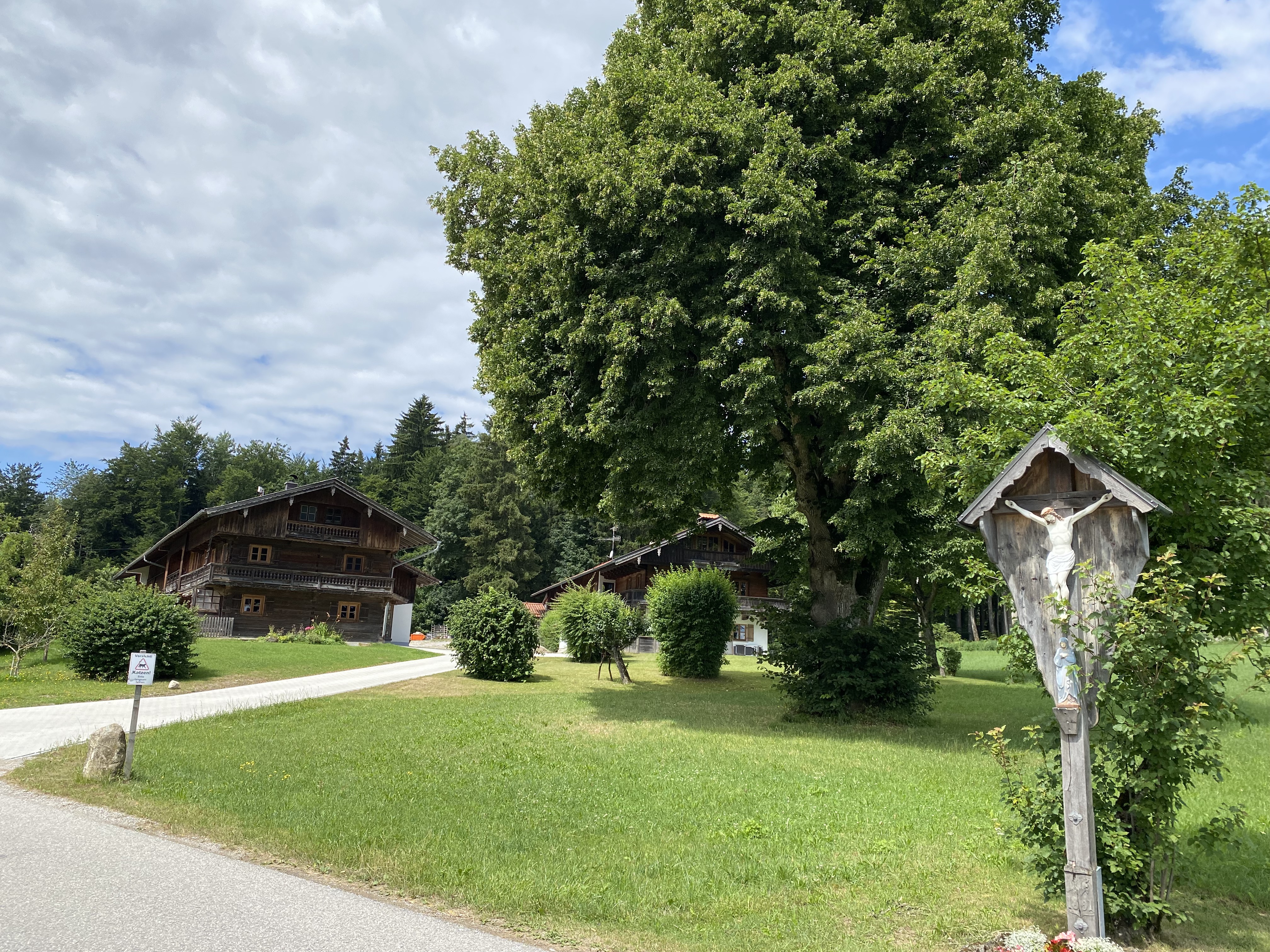
Route highlights
Bräuwirt
Continue with Bikemap
You would like to ride Bad Tölz-Miesbach or customize it for your own trip? Here is what you can do with this Bikemap route:
Free trial for 3 days, or one-time payment. More about Bikemap Premium.
Discover more Premium features.
Get Bikemap PremiumFrom our community
Open it in the app