

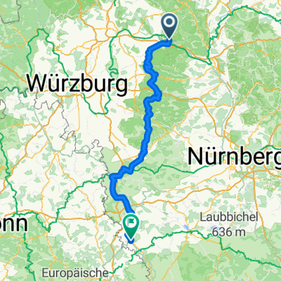
Zeil - Oberschwappach
A cycling route starting in Zeil, Bavaria, Germany.
Overview
About this route
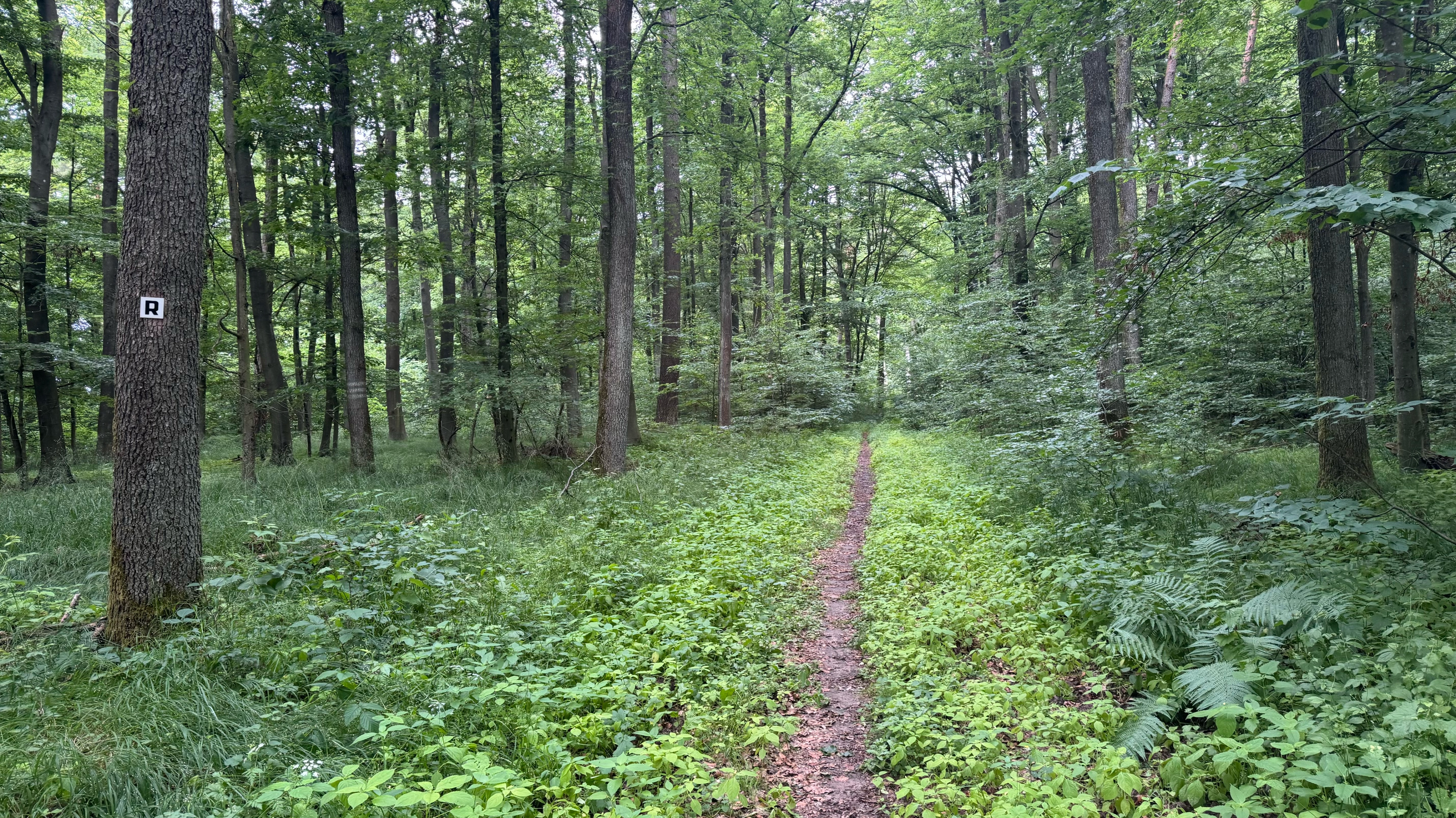
Loop trail Zeil - Oberschwappach - Horhausen - Wonfurt - Haßfurt - Zeil
- -:--
- Duration
- 36.6 km
- Distance
- 151 m
- Ascent
- 156 m
- Descent
- ---
- Avg. speed
- ---
- Max. altitude
Route quality
Waytypes & surfaces along the route
Waytypes
Track
9.9 km
(27 %)
Road
8 km
(22 %)
Surfaces
Paved
28.5 km
(78 %)
Unpaved
1.1 km
(3 %)
Asphalt
21.6 km
(59 %)
Paved (undefined)
5.8 km
(16 %)
Continue with Bikemap
Use, edit, or download this cycling route
You would like to ride Zeil - Oberschwappach or customize it for your own trip? Here is what you can do with this Bikemap route:
Free features
- Save this route as favorite or in collections
- Copy & plan your own version of this route
- Sync your route with Garmin or Wahoo
Premium features
Free trial for 3 days, or one-time payment. More about Bikemap Premium.
- Navigate this route on iOS & Android
- Export a GPX / KML file of this route
- Create your custom printout (try it for free)
- Download this route for offline navigation
Discover more Premium features.
Get Bikemap PremiumFrom our community
Other popular routes starting in Zeil
 Steinbrecher Weg
- Distance
- 24.6 km
- Ascent
- 407 m
- Descent
- 405 m
- Location
- Zeil, Bavaria, Germany
 Zeil - Oberschwappach
- Distance
- 36.6 km
- Ascent
- 151 m
- Descent
- 156 m
- Location
- Zeil, Bavaria, Germany
 Rennweg Etappe 2 - Dornbusch-Sulzfeld
- Distance
- 80 km
- Ascent
- 1,059 m
- Descent
- 1,049 m
- Location
- Zeil, Bavaria, Germany
 Zeil - Sand - Fatschenbrunn - Zeil
- Distance
- 32.9 km
- Ascent
- 474 m
- Descent
- 473 m
- Location
- Zeil, Bavaria, Germany
 Von Zeil am Main bis Dinkelsbühl
- Distance
- 179.2 km
- Ascent
- 2,425 m
- Descent
- 2,210 m
- Location
- Zeil, Bavaria, Germany
 Main Viereth
- Distance
- 44.7 km
- Ascent
- 101 m
- Descent
- 97 m
- Location
- Zeil, Bavaria, Germany
 Rückweg Zeil am Main - Pettstadt
- Distance
- 41.3 km
- Ascent
- 175 m
- Descent
- 162 m
- Location
- Zeil, Bavaria, Germany
 Maintal und Steigerwald westlich von Zeil
- Distance
- 47.4 km
- Ascent
- 178 m
- Descent
- 178 m
- Location
- Zeil, Bavaria, Germany
Open it in the app