

Pedaleada Scout.
A cycling route starting in Santa Fe, Santa Fe Province, Argentina.
Overview
About this route
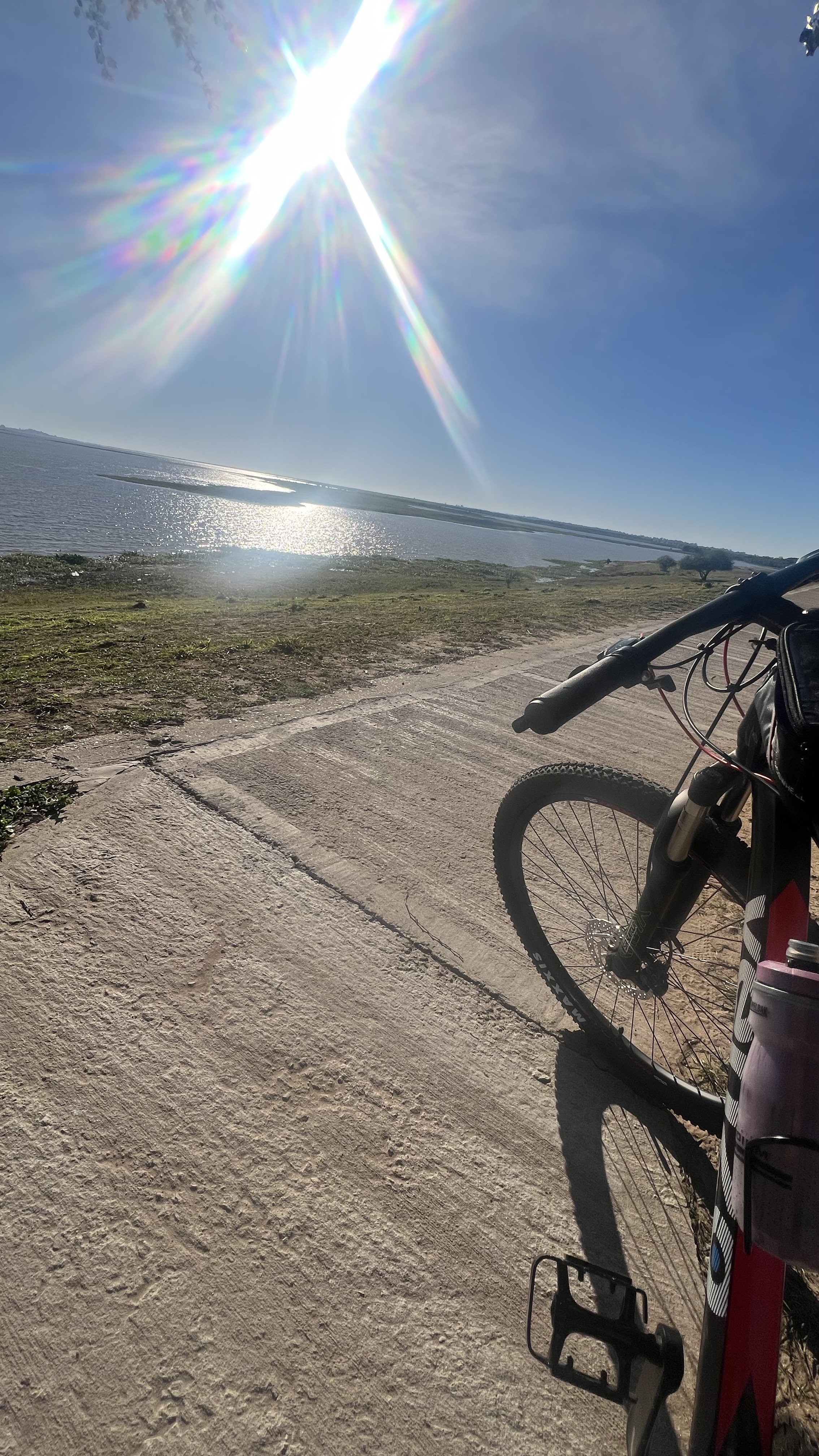
The ride starts at the dining car of the bike path at Vitori and Boulevard heading north. It continues along the bike path to the Black Bridge. From there it turns right (northeast) onto the bike path leading to General Paz. Then we take a small street to the bike path passing through Charles Chaplin Square (Lavaisse and Velez S.). Turn right and head south along the bike path until reaching Boulevard. Then continue on the sidewalk to Belgrano Station. End.
- -:--
- Duration
- 7 km
- Distance
- 9 m
- Ascent
- 4 m
- Descent
- ---
- Avg. speed
- ---
- Max. altitude
Route quality
Waytypes & surfaces along the route
Waytypes
Cycleway
4.7 km
(67 %)
Path
1.6 km
(23 %)
Surfaces
Paved
5.2 km
(74 %)
Unpaved
0.2 km
(3 %)
Asphalt
5 km
(72 %)
Unpaved (undefined)
0.2 km
(3 %)
Continue with Bikemap
Use, edit, or download this cycling route
You would like to ride Pedaleada Scout. or customize it for your own trip? Here is what you can do with this Bikemap route:
Free features
- Save this route as favorite or in collections
- Copy & plan your own version of this route
- Sync your route with Garmin or Wahoo
Premium features
Free trial for 3 days, or one-time payment. More about Bikemap Premium.
- Navigate this route on iOS & Android
- Export a GPX / KML file of this route
- Create your custom printout (try it for free)
- Download this route for offline navigation
Discover more Premium features.
Get Bikemap PremiumFrom our community
Other popular routes starting in Santa Fe
 Terraplen san Jose de Rincon
- Distance
- 11.2 km
- Ascent
- 17 m
- Descent
- 18 m
- Location
- Santa Fe, Santa Fe Province, Argentina
 Hasta El Moja
- Distance
- 29.9 km
- Ascent
- 13 m
- Descent
- 14 m
- Location
- Santa Fe, Santa Fe Province, Argentina
 2ª ETAPA Santa Fe - Frontera - San Francisco
- Distance
- 182.4 km
- Ascent
- 114 m
- Descent
- 16 m
- Location
- Santa Fe, Santa Fe Province, Argentina
 Pedaleada Scout.
- Distance
- 7 km
- Ascent
- 9 m
- Descent
- 4 m
- Location
- Santa Fe, Santa Fe Province, Argentina
 A SanAgustin y Franck
- Distance
- 77.5 km
- Ascent
- 38 m
- Descent
- 40 m
- Location
- Santa Fe, Santa Fe Province, Argentina
 08 San Francisco
- Distance
- 170.6 km
- Ascent
- 116 m
- Descent
- 19 m
- Location
- Santa Fe, Santa Fe Province, Argentina
 Gobernador Freyre, Santa Fe a Derqui, Santa Fe
- Distance
- 14.9 km
- Ascent
- 19 m
- Descent
- 19 m
- Location
- Santa Fe, Santa Fe Province, Argentina
 Santa Fe - Monte Vera - Santa Fe (Por la Laguna Setúbal)
- Distance
- 37.1 km
- Ascent
- 26 m
- Descent
- 31 m
- Location
- Santa Fe, Santa Fe Province, Argentina
Open it in the app