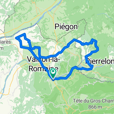
Crestet - Propiac - Puyméras - Villedieu
- 50.2 km
- 533 m
- 535 m
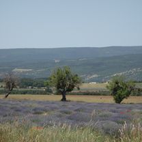
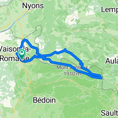
- Vaison-la-Romaine, Provence-Alpes-Côte d'Azur Region, France
A cycling route starting in Vaison-la-Romaine, Provence-Alpes-Côte d'Azur Region, France.
Overview
Mont Ventoux via Gorges de Nesque Sault
Return via Malaucène
created this 9 years ago


Route quality
Road
40 km
(32 %)
Quiet road
13.7 km
(11 %)
Undefined
71.2 km
(57 %)
Paved
106.2 km
(85 %)
Asphalt
106.2 km
(85 %)
Undefined
18.7 km
(15 %)
Continue with Bikemap
You would like to ride Mont Ventoux 1 or customize it for your own trip? Here is what you can do with this Bikemap route:
Free trial for 3 days, or one-time payment. More about Bikemap Premium.
Discover more Premium features.
Get Bikemap PremiumFrom our community
Open it in the app