

Szentgotthárd - Hársas-tó
A cycling route starting in Szentgotthárd, Vas County, Hungary.
Overview
About this route
Az útvonal Szentgotthárd kiindulási helyszínről indul, majd rövid ismerkedést tesz lehetővé a Vendvidékkel.
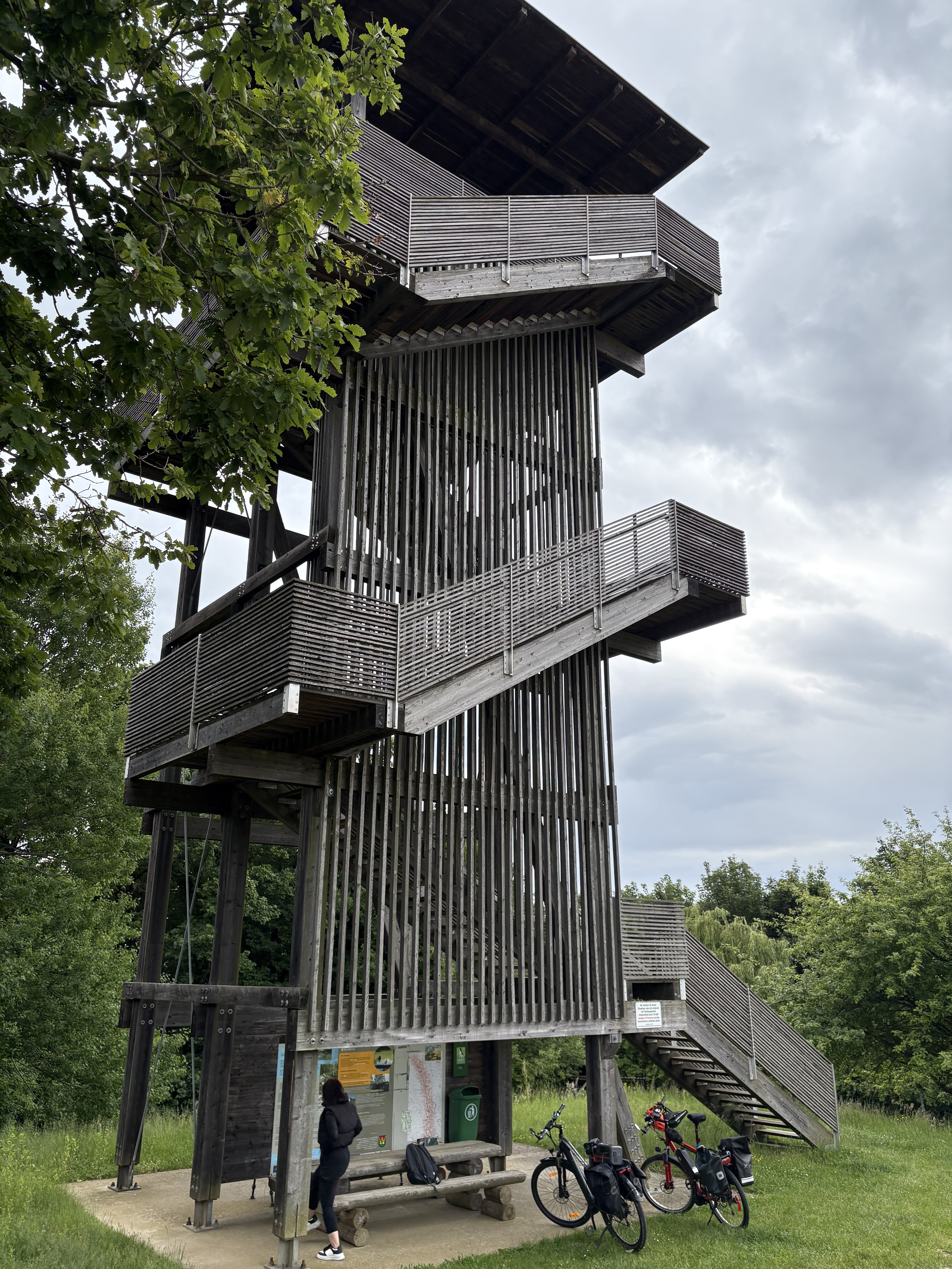
Az emelkedők, dombok okozta fáradalmakat a festői környezetben fekvő Hársas-tónál pihenhetik ki a túrázók.
Alkalmas időben a tónál strandolás is gazdagíthatja a programot. A nyári szezonban remek kínálattal rendelkező büfé is rendelkezésre áll.
- -:--
- Duration
- 21.3 km
- Distance
- 154 m
- Ascent
- 154 m
- Descent
- ---
- Avg. speed
- ---
- Max. altitude

Route quality
Waytypes & surfaces along the route
Waytypes
Busy road
16.9 km
(79 %)
Cycleway
3.6 km
(17 %)
Surfaces
Paved
17.9 km
(84 %)
Asphalt
17.5 km
(82 %)
Paving stones
0.4 km
(2 %)
Undefined
3.5 km
(16 %)
Continue with Bikemap
Use, edit, or download this cycling route
You would like to ride Szentgotthárd - Hársas-tó or customize it for your own trip? Here is what you can do with this Bikemap route:
Free features
- Save this route as favorite or in collections
- Copy & plan your own version of this route
- Sync your route with Garmin or Wahoo
Premium features
Free trial for 3 days, or one-time payment. More about Bikemap Premium.
- Navigate this route on iOS & Android
- Export a GPX / KML file of this route
- Create your custom printout (try it for free)
- Download this route for offline navigation
Discover more Premium features.
Get Bikemap PremiumFrom our community
Other popular routes starting in Szentgotthárd
 Őrség - kis kör
- Distance
- 66.9 km
- Ascent
- 614 m
- Descent
- 617 m
- Location
- Szentgotthárd, Vas County, Hungary
 2011.03.13
- Distance
- 55.6 km
- Ascent
- 311 m
- Descent
- 314 m
- Location
- Szentgotthárd, Vas County, Hungary
 2011.04.10 "időfutam"
- Distance
- 36.1 km
- Ascent
- 173 m
- Descent
- 173 m
- Location
- Szentgotthárd, Vas County, Hungary
 Heiligenbrunn Güssing
- Distance
- 60.8 km
- Ascent
- 460 m
- Descent
- 454 m
- Location
- Szentgotthárd, Vas County, Hungary
 VELOREGIO_20.
- Distance
- 127.3 km
- Ascent
- 0 m
- Descent
- 226 m
- Location
- Szentgotthárd, Vas County, Hungary
 Bethlen Gábor utca, Szentgotthárd - Bethlen Gábor utca, Szentgotthárd
- Distance
- 90.3 km
- Ascent
- 335 m
- Descent
- 338 m
- Location
- Szentgotthárd, Vas County, Hungary
 Sztg-Breitenfeld a.d. Rittschein
- Distance
- 68.8 km
- Ascent
- 194 m
- Descent
- 194 m
- Location
- Szentgotthárd, Vas County, Hungary
 3Határlos kerékpártúrák HU-AT 6.
- Distance
- 22.2 km
- Ascent
- 139 m
- Descent
- 136 m
- Location
- Szentgotthárd, Vas County, Hungary
Open it in the app