

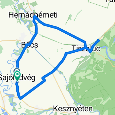
Borsodi várak bringával 2016 7. Ónod - Diósgyőr
A cycling route starting in Ónod, Borsod-Abauj Zemplen county, Hungary.
Overview
About this route
Ónodi Castle - Diósgyőri Castle 27 km elevation gain: 80 m
- -:--
- Duration
- 26.9 km
- Distance
- 85 m
- Ascent
- 4 m
- Descent
- ---
- Avg. speed
- ---
- Max. altitude

Route quality
Waytypes & surfaces along the route
Waytypes
Quiet road
7.8 km
(29 %)
Road
4.6 km
(17 %)
Surfaces
Paved
13.2 km
(49 %)
Asphalt
13.2 km
(49 %)
Undefined
13.7 km
(51 %)
Continue with Bikemap
Use, edit, or download this cycling route
You would like to ride Borsodi várak bringával 2016 7. Ónod - Diósgyőr or customize it for your own trip? Here is what you can do with this Bikemap route:
Free features
- Save this route as favorite or in collections
- Copy & plan your own version of this route
- Sync your route with Garmin or Wahoo
Premium features
Free trial for 3 days, or one-time payment. More about Bikemap Premium.
- Navigate this route on iOS & Android
- Export a GPX / KML file of this route
- Create your custom printout (try it for free)
- Download this route for offline navigation
Discover more Premium features.
Get Bikemap PremiumFrom our community
Other popular routes starting in Ónod
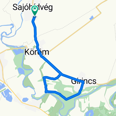 Táncsics Mihály utca - Táncsics Mihály utca
- Distance
- 12.8 km
- Ascent
- 35 m
- Descent
- 80 m
- Location
- Ónod, Borsod-Abauj Zemplen county, Hungary
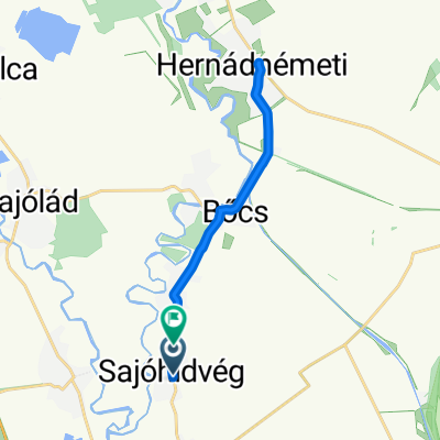
 Rákóczi utca 17., Ónod to Miskolci utca, Szirma
- Distance
- 13.2 km
- Ascent
- 35 m
- Descent
- 26 m
- Location
- Ónod, Borsod-Abauj Zemplen county, Hungary
 Zrínyi utca - József utca
- Distance
- 19.1 km
- Ascent
- 112 m
- Descent
- 109 m
- Location
- Ónod, Borsod-Abauj Zemplen county, Hungary
 Vár utca 25, Ónod to Tapolcai Elágazás, Miskolc
- Distance
- 21.7 km
- Ascent
- 76 m
- Descent
- 39 m
- Location
- Ónod, Borsod-Abauj Zemplen county, Hungary
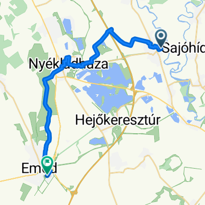
 Kossuth Lajos út 4., Muhi to Temető utca, Hejőkeresztúr
- Distance
- 8.8 km
- Ascent
- 12 m
- Descent
- 13 m
- Location
- Ónod, Borsod-Abauj Zemplen county, Hungary
 Táncsics Mihály utca - Zrínyi Miklós utca
- Distance
- 17.3 km
- Ascent
- 21 m
- Descent
- 66 m
- Location
- Ónod, Borsod-Abauj Zemplen county, Hungary
 Táncsics Mihály utca - Táncsics Mihály utca
- Distance
- 34.9 km
- Ascent
- 42 m
- Descent
- 92 m
- Location
- Ónod, Borsod-Abauj Zemplen county, Hungary
 Borsodi várak bringával 2016 7. Ónod - Diósgyőr
- Distance
- 26.9 km
- Ascent
- 85 m
- Descent
- 4 m
- Location
- Ónod, Borsod-Abauj Zemplen county, Hungary
Open it in the app