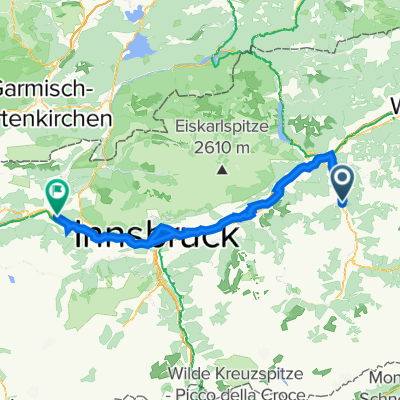
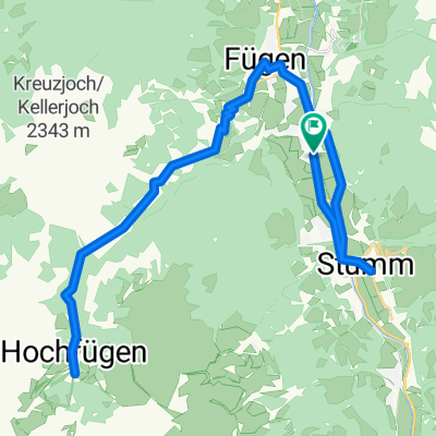
Fugen-Zillertaler HochalpenStrasse
A cycling route starting in Uderns, Tyrol, Austria.
Overview
About this route
TEASI track
- -:--
- Duration
- 39.3 km
- Distance
- 1,445 m
- Ascent
- 1,445 m
- Descent
- ---
- Avg. speed
- ---
- Max. altitude
Route quality
Waytypes & surfaces along the route
Waytypes
Quiet road
22 km
(56 %)
Road
7.1 km
(18 %)
Surfaces
Paved
21.2 km
(54 %)
Unpaved
1.2 km
(3 %)
Asphalt
21.2 km
(54 %)
Unpaved (undefined)
0.8 km
(2 %)
Continue with Bikemap
Use, edit, or download this cycling route
You would like to ride Fugen-Zillertaler HochalpenStrasse or customize it for your own trip? Here is what you can do with this Bikemap route:
Free features
- Save this route as favorite or in collections
- Copy & plan your own version of this route
- Sync your route with Garmin or Wahoo
Premium features
Free trial for 3 days, or one-time payment. More about Bikemap Premium.
- Navigate this route on iOS & Android
- Export a GPX / KML file of this route
- Create your custom printout (try it for free)
- Download this route for offline navigation
Discover more Premium features.
Get Bikemap PremiumFrom our community
Other popular routes starting in Uderns
- Fugen-Zillertaler HochalpenStrasse
- Distance
- 39.2 km
- Ascent
- 1,446 m
- Descent
- 1,446 m
- Location
- Uderns, Tyrol, Austria
- Etappe 1 - Walchsee
- Distance
- 72.4 km
- Ascent
- 487 m
- Descent
- 369 m
- Location
- Uderns, Tyrol, Austria
- Achensee
- Distance
- 25.2 km
- Ascent
- 557 m
- Descent
- 163 m
- Location
- Uderns, Tyrol, Austria
- Zillertal
- Distance
- 10 km
- Ascent
- 41 m
- Descent
- 98 m
- Location
- Uderns, Tyrol, Austria
- stumm hoch fugen
- Distance
- 51.1 km
- Ascent
- 981 m
- Descent
- 979 m
- Location
- Uderns, Tyrol, Austria
- Stummerberg -> Kreuzjochhütte -> Kreuzjochalm -> Karspitz(Fuß) -> Fichtensee/Fichtenschloss -> Diestelberg
- Distance
- 46.2 km
- Ascent
- 1,729 m
- Descent
- 1,734 m
- Location
- Uderns, Tyrol, Austria
- Route nach Zillertal-Bundesstraße, Uderns
- Distance
- 0.2 km
- Ascent
- 0 m
- Descent
- 0 m
- Location
- Uderns, Tyrol, Austria
- Kirchweg 28, Uderns nach Brandbergstraße 369, Mayrhofen
- Distance
- 21.5 km
- Ascent
- 253 m
- Descent
- 127 m
- Location
- Uderns, Tyrol, Austria
Open it in the app