

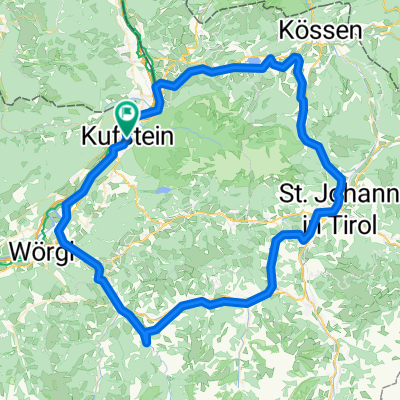
Die Seenrunde
A cycling route starting in Kufstein, Tyrol, Austria.
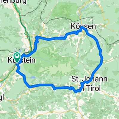
Overview
About this route
Start in Kufstein, follow the federal road towards Thiersee, Landl, Ursprungpass, Bayrischzell. Continue to Fischbachau, which we leave on the left, and take the next exit to the right towards Spitzingsee. Follow the lake to the Forsthaus Valepp. Now follow the Weißach river to Rotach; upon arrival at Tegernsee, follow the federal road on the eastern shore (heavy traffic) to the outskirts of Gmund and here turn right towards Miesbach. 'Don't miss the shortcut to Agatharied.' From Miesbach to Wörmsmühle and onward to Hundham. Follow Feilnbacherstraße to Bad Feilnbach, then on to Brannenburg, Niederaudorf, and cross the Inn river to Erl. Back in Austria, from Niederndorf take the bike path along the Inn back to Kufstein.
- -:--
- Duration
- 130.8 km
- Distance
- 2,147 m
- Ascent
- 2,158 m
- Descent
- ---
- Avg. speed
- 1,137 m
- Max. altitude

Route quality
Waytypes & surfaces along the route
Waytypes
Quiet road
20.9 km
(16 %)
Track
13.1 km
(10 %)
Surfaces
Paved
124.3 km
(95 %)
Unpaved
2.6 km
(2 %)
Asphalt
124.3 km
(95 %)
Unpaved (undefined)
1.3 km
(1 %)
Route highlights
Points of interest along the route
Point of interest after 26.1 km
Kreuzung zum Sudelfeld
Point of interest after 34.8 km
Richtung Hundham (Wendelsteinrunde)
Point of interest after 74 km
Abkürzer weniger Verrkehr
Continue with Bikemap
Use, edit, or download this cycling route
You would like to ride Die Seenrunde or customize it for your own trip? Here is what you can do with this Bikemap route:
Free features
- Save this route as favorite or in collections
- Copy & plan your own version of this route
- Split it into stages to create a multi-day tour
- Sync your route with Garmin or Wahoo
Premium features
Free trial for 3 days, or one-time payment. More about Bikemap Premium.
- Navigate this route on iOS & Android
- Export a GPX / KML file of this route
- Create your custom printout (try it for free)
- Download this route for offline navigation
Discover more Premium features.
Get Bikemap PremiumFrom our community
Other popular routes starting in Kufstein
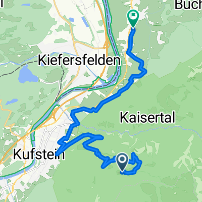 5.1_Kaiserlift - ab Bergstation
- Distance
- 15 km
- Ascent
- 351 m
- Descent
- 1,127 m
- Location
- Kufstein, Tyrol, Austria
 Kufstein Tatzelwurm
- Distance
- 44.2 km
- Ascent
- 664 m
- Descent
- 664 m
- Location
- Kufstein, Tyrol, Austria
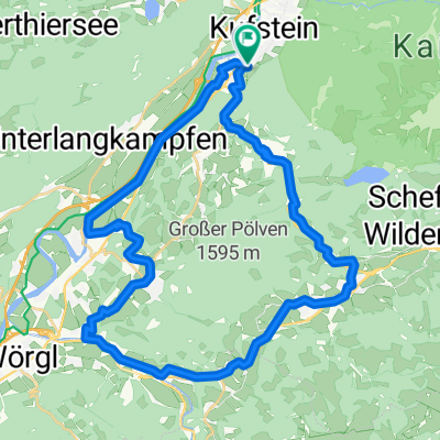 3.1_Poelvenradrunde
- Distance
- 38.2 km
- Ascent
- 715 m
- Descent
- 715 m
- Location
- Kufstein, Tyrol, Austria
 Schwoich-Wildschönau-Itter-Hochsöll
- Distance
- 63.3 km
- Ascent
- 0 m
- Descent
- 0 m
- Location
- Kufstein, Tyrol, Austria
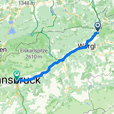 From Eben am Achensee to Innsbruck
- Distance
- 83 km
- Ascent
- 315 m
- Descent
- 229 m
- Location
- Kufstein, Tyrol, Austria
 Reintaler1 2010
- Distance
- 64.7 km
- Ascent
- 174 m
- Descent
- 177 m
- Location
- Kufstein, Tyrol, Austria
 02-rund_um_die_salve_und_den_kaiser_96896450
- Distance
- 95.3 km
- Ascent
- 765 m
- Descent
- 768 m
- Location
- Kufstein, Tyrol, Austria
 kaiserradrunde_138284948
- Distance
- 85.8 km
- Ascent
- 816 m
- Descent
- 813 m
- Location
- Kufstein, Tyrol, Austria
Open it in the app