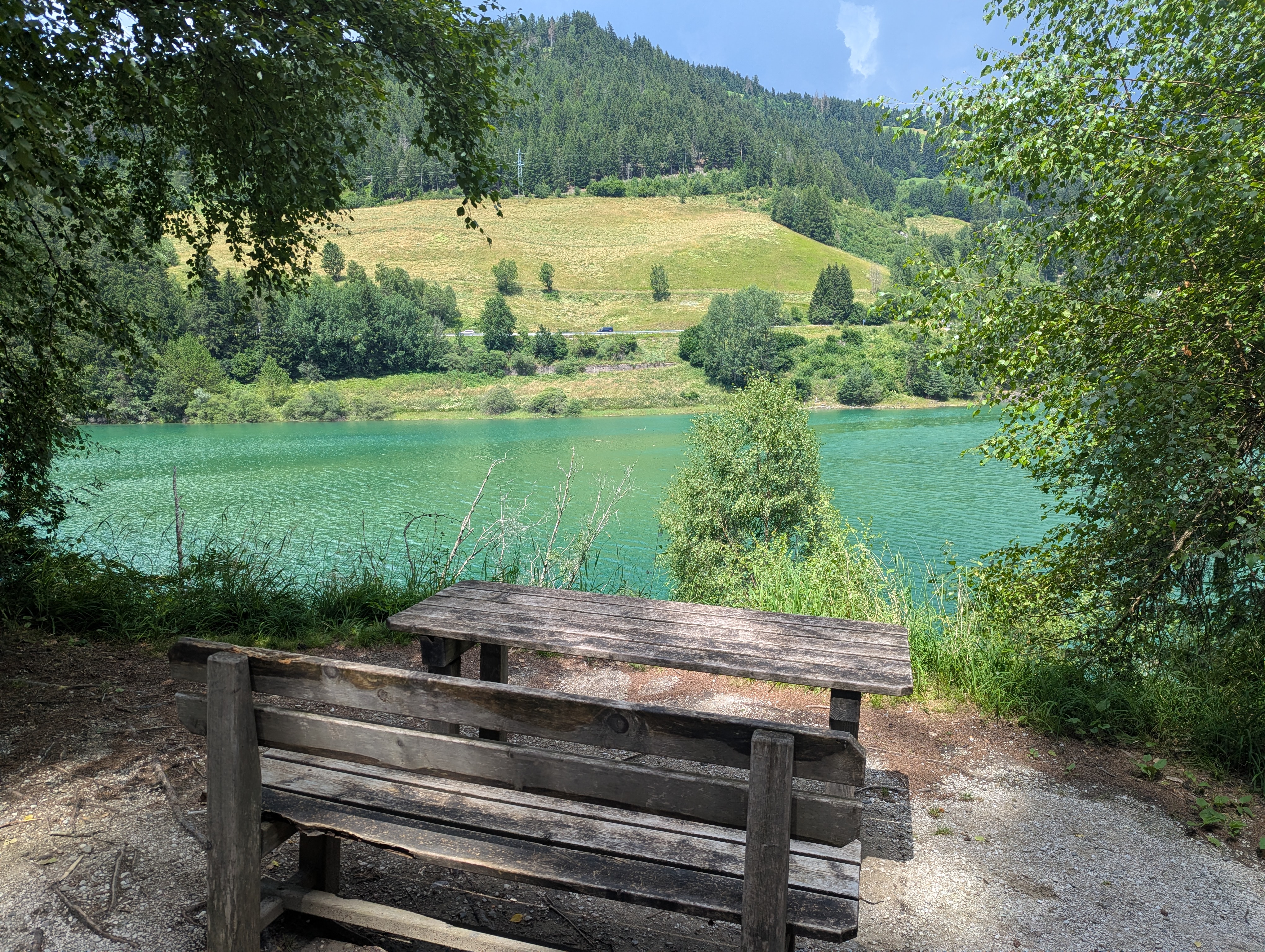
Via Pracken, Valdaora to Via Furcia, Valdaora
- 9.7 km
- 540 m
- 598 m
- Olang, Trentino-Alto Adige, Italy
A cycling route starting in Olang, Trentino-Alto Adige, Italy.
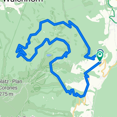
Overview
Route quality
Quiet road
23.9 km
(54 %)
Cycleway
4 km
(9 %)
Paved
29.2 km
(66 %)
Unpaved
4.9 km
(11 %)
Asphalt
29.2 km
(66 %)
Gravel
2.2 km
(5 %)
Continue with Bikemap
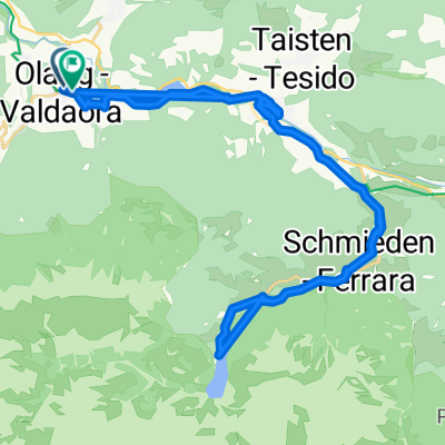
You would like to ride Olang - Pragser Wildsee or customize it for your own trip? Here is what you can do with this Bikemap route:
Free trial for 3 days, or one-time payment. More about Bikemap Premium.
Discover more Premium features.
Get Bikemap PremiumFrom our community
Open it in the app