Mühltalschleife über Seifartsdorf
A cycling route starting in Weißenborn, Thuringia, Germany.
Overview
About this route
from Weisenborn, a short steep ascent, then a gentle ascent, scenically attractive, new asphalted bicycle path from Hartmannsdorf
- -:--
- Duration
- 22.6 km
- Distance
- 221 m
- Ascent
- 233 m
- Descent
- ---
- Avg. speed
- 368 m
- Max. altitude
Route quality
Waytypes & surfaces along the route
Waytypes
Quiet road
9.9 km
(44 %)
Track
5.6 km
(25 %)
Surfaces
Paved
21 km
(93 %)
Unpaved
1.4 km
(6 %)
Asphalt
20.1 km
(89 %)
Ground
1.1 km
(5 %)
Continue with Bikemap
Use, edit, or download this cycling route
You would like to ride Mühltalschleife über Seifartsdorf or customize it for your own trip? Here is what you can do with this Bikemap route:
Free features
- Save this route as favorite or in collections
- Copy & plan your own version of this route
- Sync your route with Garmin or Wahoo
Premium features
Free trial for 3 days, or one-time payment. More about Bikemap Premium.
- Navigate this route on iOS & Android
- Export a GPX / KML file of this route
- Create your custom printout (try it for free)
- Download this route for offline navigation
Discover more Premium features.
Get Bikemap PremiumFrom our community
Other popular routes starting in Weißenborn
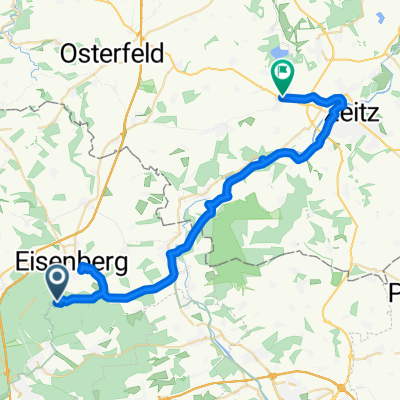
Mühltal 12, Weißenborn nach Eichenstraße 22, Gera- Distance
- 30.1 km
- Ascent
- 70 m
- Descent
- 191 m
- Location
- Weißenborn, Thuringia, Germany
Mühltal 11B, Weißenborn nach Mühltal 12, Weißenborn- Distance
- 8.2 km
- Ascent
- 71 m
- Descent
- 66 m
- Location
- Weißenborn, Thuringia, Germany
Werra-ThüS-5.Tag- Distance
- 99.4 km
- Ascent
- 369 m
- Descent
- 457 m
- Location
- Weißenborn, Thuringia, Germany
Klausrunde- Distance
- 5.6 km
- Ascent
- 143 m
- Descent
- 142 m
- Location
- Weißenborn, Thuringia, Germany
Mühltal lang Bettina- Distance
- 51.4 km
- Ascent
- 280 m
- Descent
- 278 m
- Location
- Weißenborn, Thuringia, Germany
Mühltal 12, Weißenborn nach Aga Zeitzer Straße 10, Gera- Distance
- 21.5 km
- Ascent
- 209 m
- Descent
- 224 m
- Location
- Weißenborn, Thuringia, Germany
Tälerdörfer-Mörsdorf-Rundfahrt- Distance
- 46.1 km
- Ascent
- 359 m
- Descent
- 289 m
- Location
- Weißenborn, Thuringia, Germany
NRW Eisenberg Gamstädt- Distance
- 85.3 km
- Ascent
- 767 m
- Descent
- 722 m
- Location
- Weißenborn, Thuringia, Germany
Open it in the app

