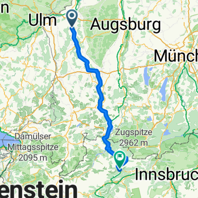
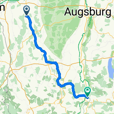
Biber-Günztal Flachetappe CLONED FROM ROUTE 118591
A cycling route starting in Waldstetten, Bavaria, Germany.
Overview
About this route
Flache Winteretappe teilweise auf kleinen Nebenstraßen. Alles auf Teer
- -:--
- Duration
- 56.7 km
- Distance
- 279 m
- Ascent
- 264 m
- Descent
- ---
- Avg. speed
- 596 m
- Avg. speed
Route quality
Waytypes & surfaces along the route
Waytypes
Quiet road
24.5 km
(43 %)
Road
12.8 km
(23 %)
Surfaces
Paved
49.5 km
(87 %)
Unpaved
0.2 km
(<1 %)
Asphalt
45.1 km
(80 %)
Paved (undefined)
4.4 km
(8 %)
Continue with Bikemap
Use, edit, or download this cycling route
You would like to ride Biber-Günztal Flachetappe CLONED FROM ROUTE 118591 or customize it for your own trip? Here is what you can do with this Bikemap route:
Free features
- Save this route as favorite or in collections
- Copy & plan your own version of this route
- Sync your route with Garmin or Wahoo
Premium features
Free trial for 3 days, or one-time payment. More about Bikemap Premium.
- Navigate this route on iOS & Android
- Export a GPX / KML file of this route
- Create your custom printout (try it for free)
- Download this route for offline navigation
Discover more Premium features.
Get Bikemap PremiumFrom our community
Other popular routes starting in Waldstetten
- Donauriedrunde Wst Langenau Offingen
- Distance
- 64.3 km
- Ascent
- 115 m
- Descent
- 115 m
- Location
- Waldstetten, Bavaria, Germany
- Wintertour im nordwestl Landkreis GZ
- Distance
- 61 km
- Ascent
- 275 m
- Descent
- 276 m
- Location
- Waldstetten, Bavaria, Germany
- Route im Schneckentempo in Kötz
- Distance
- 7.8 km
- Ascent
- 74 m
- Descent
- 36 m
- Location
- Waldstetten, Bavaria, Germany
- Biber-Günztal Flachetappe CLONED FROM ROUTE 118591
- Distance
- 56.7 km
- Ascent
- 279 m
- Descent
- 264 m
- Location
- Waldstetten, Bavaria, Germany
- Radltour Waldstetten-Illertissen-Weißenhorn-Waldstetten
- Distance
- 62 km
- Ascent
- 309 m
- Descent
- 300 m
- Location
- Waldstetten, Bavaria, Germany
- Hauptstraße 45, Waldstetten nach Prämonstratenserstraße 20, Ursberg
- Distance
- 19.1 km
- Ascent
- 186 m
- Descent
- 159 m
- Location
- Waldstetten, Bavaria, Germany
- Biber-Günztal Flachetappe
- Distance
- 58.3 km
- Ascent
- 289 m
- Descent
- 274 m
- Location
- Waldstetten, Bavaria, Germany
- Kammeltal, Günztal, Salzweiher
- Distance
- 47 km
- Ascent
- 240 m
- Descent
- 255 m
- Location
- Waldstetten, Bavaria, Germany
Open it in the app