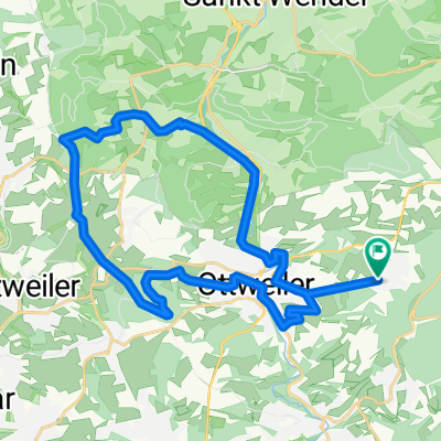
Wbk- Leitersweiler
- 49.6 km
- 377 m
- 377 m
- Hangard, Saarland, Germany
A cycling route starting in Hangard, Saarland, Germany.
Overview
Out again in the Palatinate, Grube Labach before Frohnhofen stretches on a lot, but it's got something! Then it rolls on to Schöneberg-Kübelberg. There's another climb there! There are also manure carts on the main road! That it goes up again to Höchen is already clear from the name! 50 kilometres and almost 500 metres of elevation!
Route quality
Quiet road
6.6 km
13 %
Path
6.6 km
13 %
Paved
38.3 km
(76 %)
Unpaved
6.1 km
(12 %)
Asphalt
36.8 km
73 %
Gravel
2.5 km
5 %
Continue with Bikemap
You would like to ride Paulengrund or customize it for your own trip? Here is what you can do with this Bikemap route:
Free trial for 3 days, or one-time payment. More about Bikemap Premium.
Discover more Premium features.
Get Bikemap PremiumFrom our community
Open it in the app