
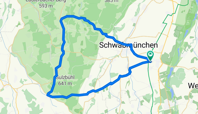
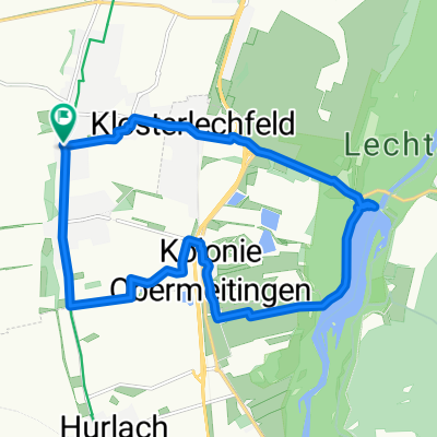
Staudentour 60KM
A cycling route starting in Untermeitingen, Bavaria, Germany.
Overview
About this route
- -:--
- Duration
- 60 km
- Distance
- 355 m
- Ascent
- 356 m
- Descent
- ---
- Avg. speed
- ---
- Max. altitude

Route quality
Waytypes & surfaces along the route
Waytypes
Road
30.6 km
(51 %)
Path
15 km
(25 %)
Surfaces
Paved
57.6 km
(96 %)
Unpaved
1.2 km
(2 %)
Asphalt
57.6 km
(96 %)
Loose gravel
1.2 km
(2 %)
Undefined
1.2 km
(2 %)
Continue with Bikemap
Use, edit, or download this cycling route
You would like to ride Staudentour 60KM or customize it for your own trip? Here is what you can do with this Bikemap route:
Free features
- Save this route as favorite or in collections
- Copy & plan your own version of this route
- Sync your route with Garmin or Wahoo
Premium features
Free trial for 3 days, or one-time payment. More about Bikemap Premium.
- Navigate this route on iOS & Android
- Export a GPX / KML file of this route
- Create your custom printout (try it for free)
- Download this route for offline navigation
Discover more Premium features.
Get Bikemap PremiumFrom our community
Other popular routes starting in Untermeitingen
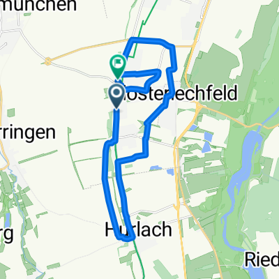
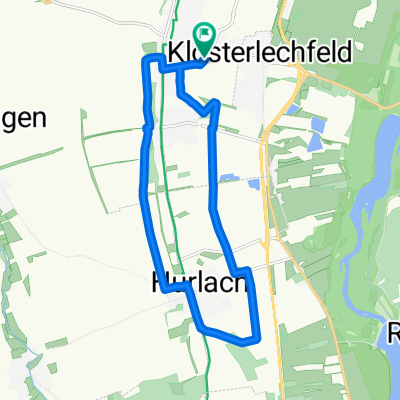 15km UTM - Hurla - UTM
- Distance
- 14.9 km
- Ascent
- 41 m
- Descent
- 39 m
- Location
- Untermeitingen, Bavaria, Germany
 Staudentour 60KM
- Distance
- 60 km
- Ascent
- 355 m
- Descent
- 356 m
- Location
- Untermeitingen, Bavaria, Germany
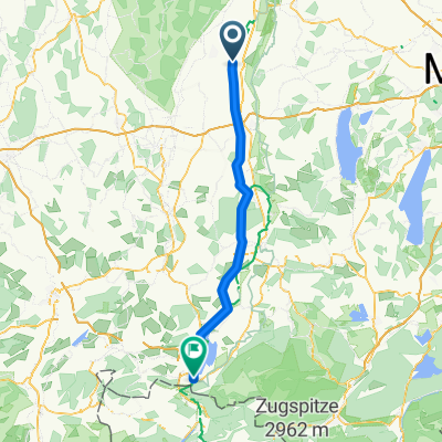 Landsberg - Füsen
- Distance
- 71.1 km
- Ascent
- 254 m
- Descent
- 29 m
- Location
- Untermeitingen, Bavaria, Germany
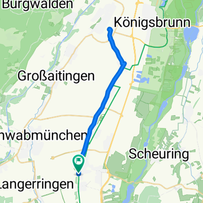 Untermeitingen - Bobingen Zurück
- Distance
- 27.7 km
- Ascent
- 37 m
- Descent
- 37 m
- Location
- Untermeitingen, Bavaria, Germany
 Hunde Runde 07.09.13
- Distance
- 14.7 km
- Ascent
- 13 m
- Descent
- 13 m
- Location
- Untermeitingen, Bavaria, Germany
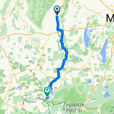 Untermeitingen - Lechbruck
- Distance
- 85.9 km
- Ascent
- 708 m
- Descent
- 464 m
- Location
- Untermeitingen, Bavaria, Germany
 Welser Straße, Untermeitingen nach Fuggerstraße 5, Untermeitingen
- Distance
- 17.8 km
- Ascent
- 113 m
- Descent
- 114 m
- Location
- Untermeitingen, Bavaria, Germany
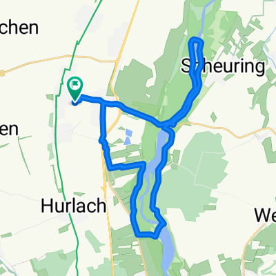 27km UTM - KloLe - Kol - LSSt18 - Zoha - Scheuri - KloLe - UTM
- Distance
- 27.3 km
- Ascent
- 57 m
- Descent
- 56 m
- Location
- Untermeitingen, Bavaria, Germany
Open it in the app