Megeve - Aosta
- 167.3 km
- 3,156 m
- 3,669 m
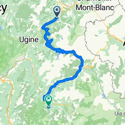
- Megève, Auvergne-Rhône-Alpes, France
A cycling route starting in Megève, Auvergne-Rhône-Alpes, France.
Overview
Saturday, July 23th
Megève / Morzine-Avoriaz
147 km
created this 9 years ago
Route quality
Road
60.4 km
(40 %)
Quiet road
6 km
(4 %)
Paved
120.8 km
(80 %)
Asphalt
120.8 km
(80 %)
Undefined
30.2 km
(20 %)
Route highlights
2 Kt. - Col des Aravis (1 487 m)
Sprint
1 Kt. - Col de la Colombière (1 618 m)
1 Kt. - Col de la Ramaz (1 619 m)
HC - Col de Joux Plane (1 691 m)
Continue with Bikemap
You would like to ride Tour de France 2016 - Stage 20 or customize it for your own trip? Here is what you can do with this Bikemap route:
Free trial for 3 days, or one-time payment. More about Bikemap Premium.
Discover more Premium features.
Get Bikemap PremiumFrom our community
Open it in the app