

Tour de France 2016 - Stage 6
A cycling route starting in Arpajon-sur-Cère, Auvergne-Rhône-Alpes, France.
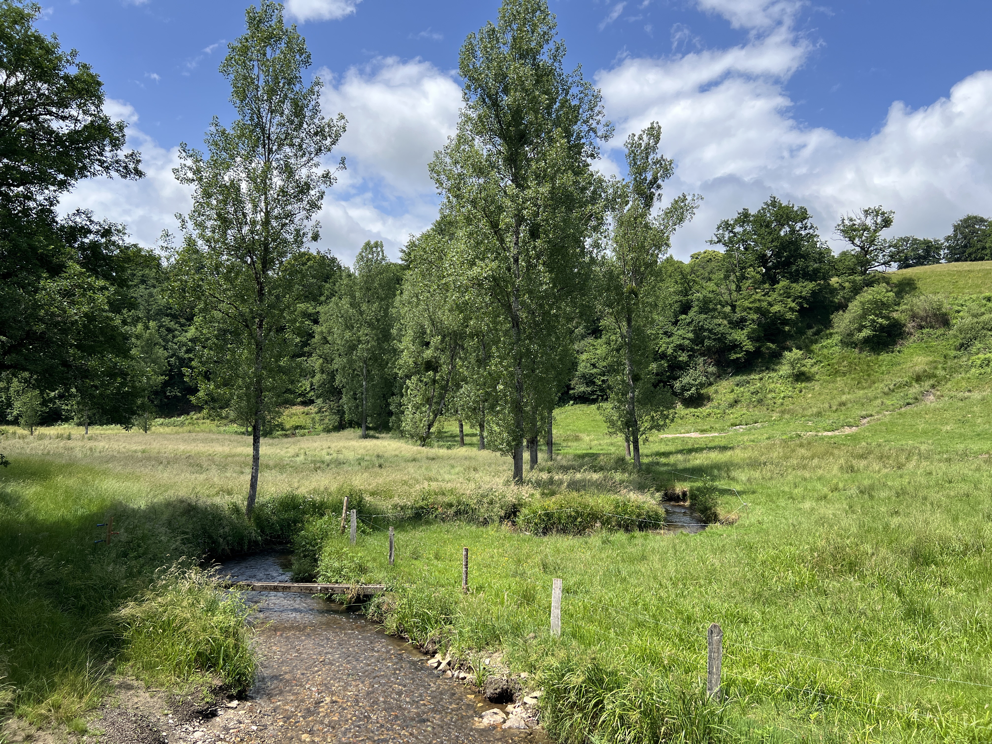
Overview
About this route
Thursday, July 7th
Arpajon-sur-Cère / Montauban
191 km
- -:--
- Duration
- 191.2 km
- Distance
- 996 m
- Ascent
- 1,500 m
- Descent
- ---
- Avg. speed
- ---
- Max. altitude
Route quality
Waytypes & surfaces along the route
Waytypes
Quiet road
24.9 km
(13 %)
Road
22.9 km
(12 %)
Surfaces
Paved
110.9 km
(58 %)
Unpaved
3.8 km
(2 %)
Asphalt
110.9 km
(58 %)
Gravel
1.9 km
(1 %)
Route highlights
Points of interest along the route
Point of interest after 64.4 km
3 Kt. - Col des Estaques (322 m)
Point of interest after 72.6 km
4 Kt. - Côte d'Aubin (335 m)
Point of interest after 78.4 km
Sprint
Point of interest after 148 km
3 Kt. - Côte de Saint-Antonin-Noble-Val (289 m)
Continue with Bikemap
Use, edit, or download this cycling route
You would like to ride Tour de France 2016 - Stage 6 or customize it for your own trip? Here is what you can do with this Bikemap route:
Free features
- Save this route as favorite or in collections
- Copy & plan your own version of this route
- Split it into stages to create a multi-day tour
- Sync your route with Garmin or Wahoo
Premium features
Free trial for 3 days, or one-time payment. More about Bikemap Premium.
- Navigate this route on iOS & Android
- Export a GPX / KML file of this route
- Create your custom printout (try it for free)
- Download this route for offline navigation
Discover more Premium features.
Get Bikemap PremiumFrom our community
Other popular routes starting in Arpajon-sur-Cère
 La ronde des moulins
- Distance
- 39.2 km
- Ascent
- 989 m
- Descent
- 985 m
- Location
- Arpajon-sur-Cère, Auvergne-Rhône-Alpes, France
 tk aurillac mende
- Distance
- 159.9 km
- Ascent
- 2,158 m
- Descent
- 1,729 m
- Location
- Arpajon-sur-Cère, Auvergne-Rhône-Alpes, France
 kkkkk
kkkkk- Distance
- 114.8 km
- Ascent
- 1,326 m
- Descent
- 1,326 m
- Location
- Arpajon-sur-Cère, Auvergne-Rhône-Alpes, France
 Tour de France 2016 - Stage 6
- Distance
- 191.2 km
- Ascent
- 996 m
- Descent
- 1,500 m
- Location
- Arpajon-sur-Cère, Auvergne-Rhône-Alpes, France
 Tour de France 2016 Stage 6: 187 km Arpajon-sur-Cère - Montauban
- Distance
- 194.9 km
- Ascent
- 1,165 m
- Descent
- 1,658 m
- Location
- Arpajon-sur-Cère, Auvergne-Rhône-Alpes, France
 Etape 08 - Arpajon sur Cère à Rodez - 84,2km 1260D+
- Distance
- 84.3 km
- Ascent
- 1,121 m
- Descent
- 1,187 m
- Location
- Arpajon-sur-Cère, Auvergne-Rhône-Alpes, France
 Route du Goul, Labrousse nach Route du Goul, Labrousse
- Distance
- 27.4 km
- Ascent
- 470 m
- Descent
- 469 m
- Location
- Arpajon-sur-Cère, Auvergne-Rhône-Alpes, France
 **13-V. Arpajon-sur-Cère - Montauban (164,5 Km)
- Distance
- 164.5 km
- Ascent
- 1,737 m
- Descent
- 2,231 m
- Location
- Arpajon-sur-Cère, Auvergne-Rhône-Alpes, France
Open it in the app