

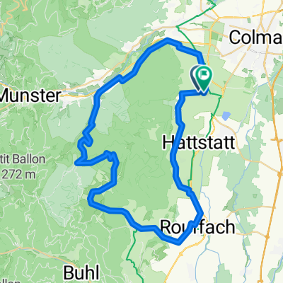
RX Col du Bannstein/Boenlesgrab
A cycling route starting in Eguisheim, Grand Est, France.
Overview
About this route
RX Col du Bannstein/Boenlesgrab
- -:--
- Duration
- 42 km
- Distance
- 961 m
- Ascent
- 957 m
- Descent
- ---
- Avg. speed
- ---
- Max. altitude
Route quality
Waytypes & surfaces along the route
Waytypes
Track
24.8 km
(59 %)
Path
8 km
(19 %)
Surfaces
Paved
8.4 km
(20 %)
Unpaved
17.7 km
(42 %)
Gravel
11.3 km
(27 %)
Ground
4.6 km
(11 %)
Continue with Bikemap
Use, edit, or download this cycling route
You would like to ride RX Col du Bannstein/Boenlesgrab or customize it for your own trip? Here is what you can do with this Bikemap route:
Free features
- Save this route as favorite or in collections
- Copy & plan your own version of this route
- Sync your route with Garmin or Wahoo
Premium features
Free trial for 3 days, or one-time payment. More about Bikemap Premium.
- Navigate this route on iOS & Android
- Export a GPX / KML file of this route
- Create your custom printout (try it for free)
- Download this route for offline navigation
Discover more Premium features.
Get Bikemap PremiumFrom our community
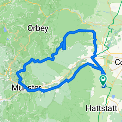
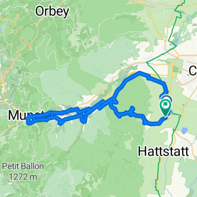
Other popular routes starting in Eguisheim
 Route in Egisheim
- Distance
- 50.6 km
- Ascent
- 1,053 m
- Descent
- 1,057 m
- Location
- Eguisheim, Grand Est, France
 RX Schrankenfels
- Distance
- 44.4 km
- Ascent
- 889 m
- Descent
- 885 m
- Location
- Eguisheim, Grand Est, France
 FR. Vosges Col Amic Grand Ballon
- Distance
- 94.7 km
- Ascent
- 1,378 m
- Descent
- 1,378 m
- Location
- Eguisheim, Grand Est, France
 Vosge TDF2014 via Eguisheim
- Distance
- 157.8 km
- Ascent
- 2,525 m
- Descent
- 2,487 m
- Location
- Eguisheim, Grand Est, France
 Eguisheim, Repos du Chasseur, Turckheim, Trois Epis, Turckheim
- Distance
- 39 km
- Ascent
- 846 m
- Descent
- 847 m
- Location
- Eguisheim, Grand Est, France
 Eguisheim, rund um Le Stauffen
- Distance
- 37.8 km
- Ascent
- 780 m
- Descent
- 782 m
- Location
- Eguisheim, Grand Est, France
 Soulzbach
- Distance
- 55.5 km
- Ascent
- 1,263 m
- Descent
- 1,262 m
- Location
- Eguisheim, Grand Est, France
 Elsass Tag 2 Eguisheim-Münster
- Distance
- 41.9 km
- Ascent
- 965 m
- Descent
- 955 m
- Location
- Eguisheim, Grand Est, France
Open it in the app