Elberadweg in CZ; then back through northern CZ
- 589.5 km
- 1,136 m
- 1,137 m
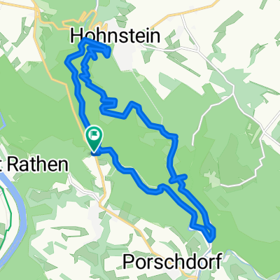
- Hohnstein, Saxony, Germany
A cycling route starting in Hohnstein, Saxony, Germany.
Overview
Elberadweg in CZ, then back through northern CZ
created this 9 years ago
Route quality
Road
147.4 km
(25 %)
Cycleway
112 km
(19 %)
Paved
294.7 km
(50 %)
Unpaved
35.4 km
(6 %)
Asphalt
288.8 km
(49 %)
Unpaved (undefined)
11.8 km
(2 %)
Route highlights
Camping
Camping
Camping
Camping
Camping
Camping
Camping
Camping
Cycle Store
Camping
Camping
Camping
Continue with Bikemap
You would like to ride Elberadweg in CZ; then back through northern CZ or customize it for your own trip? Here is what you can do with this Bikemap route:
Free trial for 3 days, or one-time payment. More about Bikemap Premium.
Discover more Premium features.
Get Bikemap PremiumFrom our community
Open it in the app