

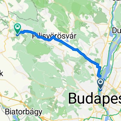
Nagykovacsi Run
A cycling route starting in Budapest II. kerület, Budapest, Hungary.
Overview
About this route
- -:--
- Duration
- 27.9 km
- Distance
- 266 m
- Ascent
- 264 m
- Descent
- ---
- Avg. speed
- ---
- Max. altitude

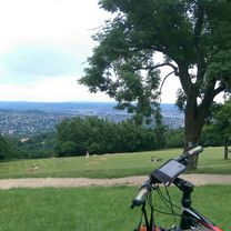
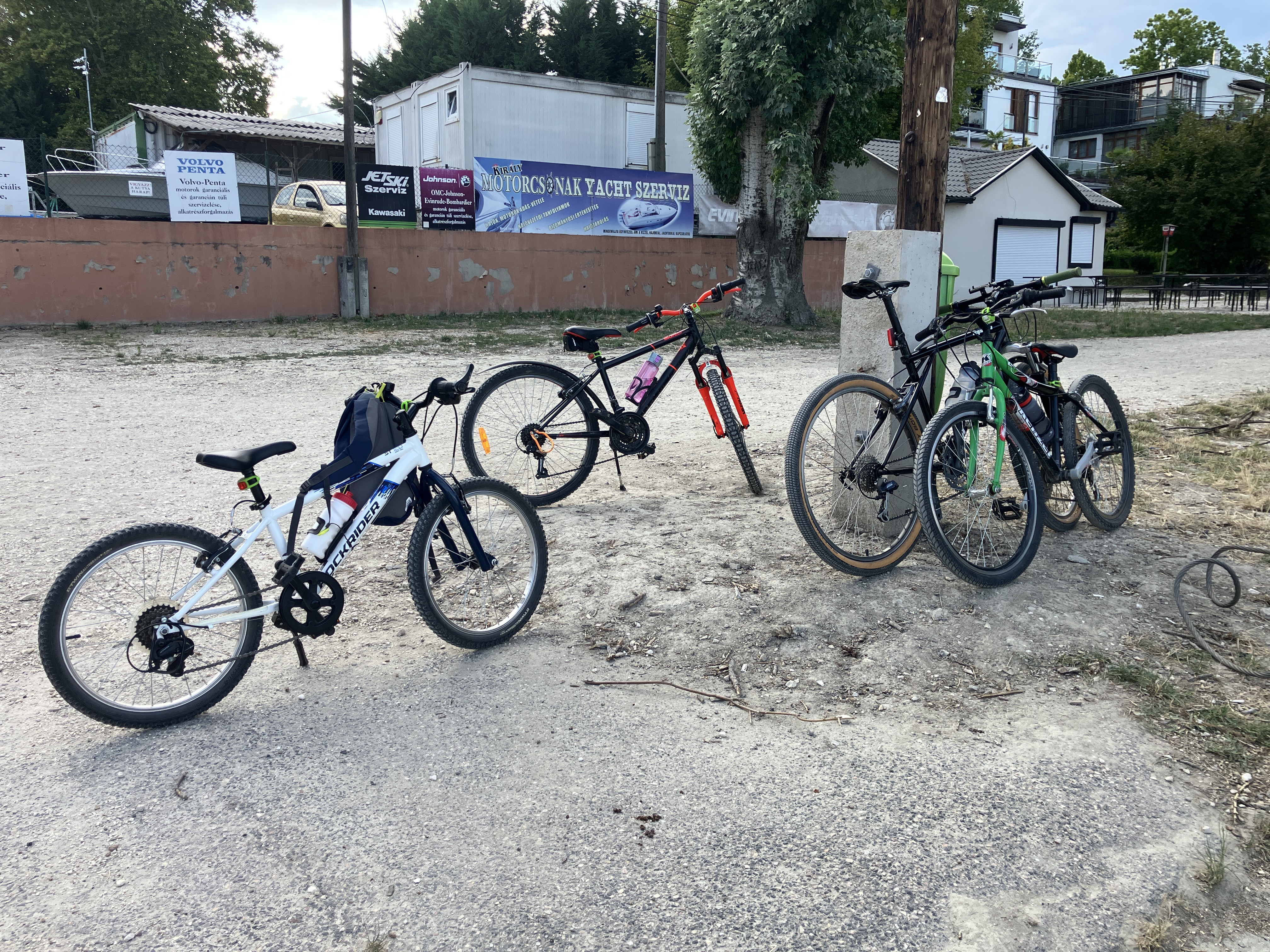
Route photos


Route quality
Waytypes & surfaces along the route
Waytypes
Road
14.5 km
(52 %)
Quiet road
3.1 km
(11 %)
Surfaces
Paved
26.5 km
(95 %)
Asphalt
26.5 km
(95 %)
Undefined
1.4 km
(5 %)
Continue with Bikemap
Use, edit, or download this cycling route
You would like to ride Nagykovacsi Run or customize it for your own trip? Here is what you can do with this Bikemap route:
Free features
- Save this route as favorite or in collections
- Copy & plan your own version of this route
- Sync your route with Garmin or Wahoo
Premium features
Free trial for 3 days, or one-time payment. More about Bikemap Premium.
- Navigate this route on iOS & Android
- Export a GPX / KML file of this route
- Create your custom printout (try it for free)
- Download this route for offline navigation
Discover more Premium features.
Get Bikemap PremiumFrom our community
Other popular routes starting in Budapest II. kerület
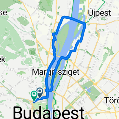 Varsányi-Margitsziget-Újpest-Buda-Vérmező
- Distance
- 18 km
- Ascent
- 76 m
- Descent
- 74 m
- Location
- Budapest II. kerület, Budapest, Hungary
 János-hegyi edzőkör
- Distance
- 18.2 km
- Ascent
- 521 m
- Descent
- 439 m
- Location
- Budapest II. kerület, Budapest, Hungary
 Budapest - Visegrád - Nagymaros
- Distance
- 52.6 km
- Ascent
- 57 m
- Descent
- 68 m
- Location
- Budapest II. kerület, Budapest, Hungary
 Kisoroszi
- Distance
- 83.8 km
- Ascent
- 188 m
- Descent
- 191 m
- Location
- Budapest II. kerület, Budapest, Hungary
 Budai tekergő
- Distance
- 25.1 km
- Ascent
- 511 m
- Descent
- 514 m
- Location
- Budapest II. kerület, Budapest, Hungary
 20170515_112616_Test
- Distance
- 8.3 km
- Ascent
- 126 m
- Descent
- 158 m
- Location
- Budapest II. kerület, Budapest, Hungary
 Útvonal ide: Tinnye
- Distance
- 26.8 km
- Ascent
- 300 m
- Descent
- 203 m
- Location
- Budapest II. kerület, Budapest, Hungary
 Széna tér, Budapest - Toldalagi Pál utca, Budapest
- Distance
- 11.5 km
- Ascent
- 76 m
- Descent
- 94 m
- Location
- Budapest II. kerület, Budapest, Hungary
Open it in the app