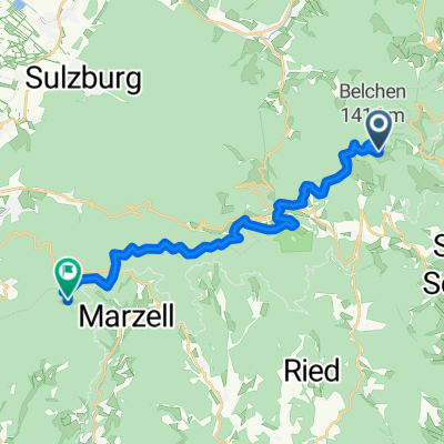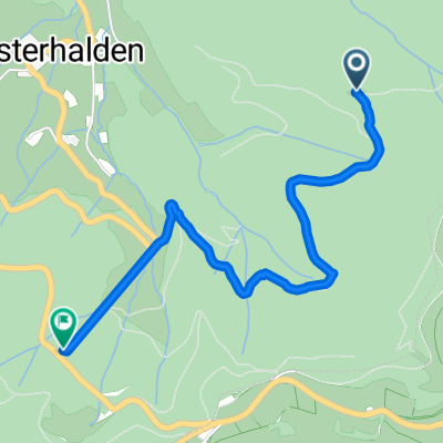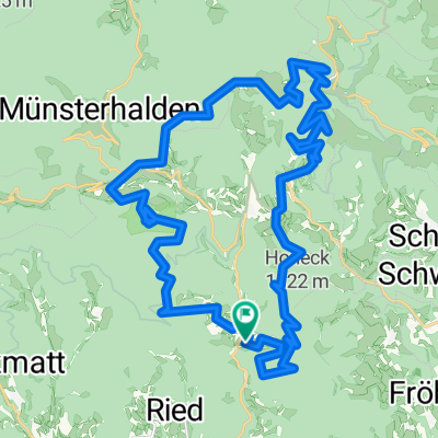

Böllen - Lörrach
- 46.5 km
- 1,179 m
- 1,772 m
- Böllen, Baden-Wurttemberg, Germany
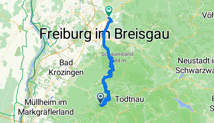
In the first place, it's downhill. However, the section from Münstertal to Schauinsland (via Stohren) is very steep - 18 %.
Road
8.4 km18 %Quiet road
3.7 km8 %Paved
40 km(86 %)Unpaved
3.3 km(7 %)Asphalt
40 km86 %Ground
1.9 km4 %Free trial for 3 days, or one-time payment. More about Bikemap Premium.
Discover more Premium features.
Get Bikemap PremiumOpen it in the app