

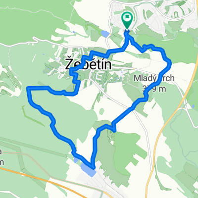
Bílý potok
A cycling route starting in Troubsko, South Moravian, Czechia.
Overview
About this route
Pass-through places: Brno-Bystrc, Ríšova studánka, Hvozdec, Javůrek, Lesní Hluboké, Přibyslavice, Spálený Mlýn, Pavlovcův Mlýn, Javůrecký Mlýn, Maršovský Mlýn, Šmelcovna, Veverská Bítýška, Osada, Bystrc
- -:--
- Duration
- 54.6 km
- Distance
- 948 m
- Ascent
- 1,004 m
- Descent
- ---
- Avg. speed
- 525 m
- Max. altitude

Route quality
Waytypes & surfaces along the route
Waytypes
Track
27.8 km
(51 %)
Quiet road
7.1 km
(13 %)
Surfaces
Paved
17.5 km
(32 %)
Unpaved
20.7 km
(38 %)
Asphalt
16.4 km
(30 %)
Ground
11.5 km
(21 %)
Continue with Bikemap
Use, edit, or download this cycling route
You would like to ride Bílý potok or customize it for your own trip? Here is what you can do with this Bikemap route:
Free features
- Save this route as favorite or in collections
- Copy & plan your own version of this route
- Sync your route with Garmin or Wahoo
Premium features
Free trial for 3 days, or one-time payment. More about Bikemap Premium.
- Navigate this route on iOS & Android
- Export a GPX / KML file of this route
- Create your custom printout (try it for free)
- Download this route for offline navigation
Discover more Premium features.
Get Bikemap PremiumFrom our community
Other popular routes starting in Troubsko
 to Motodrom from Bystrec
- Distance
- 13.1 km
- Ascent
- 317 m
- Descent
- 298 m
- Location
- Troubsko, South Moravian, Czechia
 Kolem žebětína
- Distance
- 11.7 km
- Ascent
- 257 m
- Descent
- 259 m
- Location
- Troubsko, South Moravian, Czechia
 krtek -silnice omice velká cena
- Distance
- 33.9 km
- Ascent
- 513 m
- Descent
- 501 m
- Location
- Troubsko, South Moravian, Czechia
 Kamechy-Velka Cena-Veveri
- Distance
- 23.4 km
- Ascent
- 397 m
- Descent
- 391 m
- Location
- Troubsko, South Moravian, Czechia
 Bílý potok
- Distance
- 54.6 km
- Ascent
- 948 m
- Descent
- 1,004 m
- Location
- Troubsko, South Moravian, Czechia
 Jirkovo utrpeni
- Distance
- 54.3 km
- Ascent
- 695 m
- Descent
- 727 m
- Location
- Troubsko, South Moravian, Czechia
 Brno -Vídeň
- Distance
- 160.7 km
- Ascent
- 587 m
- Descent
- 732 m
- Location
- Troubsko, South Moravian, Czechia
 Brno - Krk
- Distance
- 612.4 km
- Ascent
- 2,453 m
- Descent
- 2,704 m
- Location
- Troubsko, South Moravian, Czechia
Open it in the app