Hügelige Heimfahrt
- 57.7 km
- 1,337 m
- 1,236 m
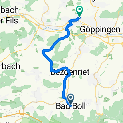
- Boll, Baden-Wurttemberg, Germany
In Gammelshausen up the Galgenbuckel, as the road is closed, then over Auendorf, the Hexensattel, and Grünenberg to Süßen
Road
14.4 km51 %Quiet road
4.5 km16 %Paved
24.5 km(87 %)Unpaved
0.3 km(1 %)Asphalt
22.8 km81 %Paved (undefined)
1.4 km5 %Free trial for 3 days, or one-time payment. More about Bikemap Premium.
Discover more Premium features.
Get Bikemap PremiumOpen it in the app