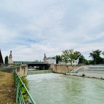
Wenn's dann wieder Frühling ist
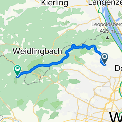
- 12.1 km
- 481 m
- 235 m
- Langenzersdorf, Lower Austria, Austria
A cycling route starting in Langenzersdorf, Lower Austria, Austria.
Overview
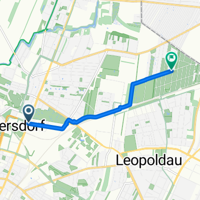
Strebersdorf on the Bisamberg to Elisabethhöhe and down the gravel trail


Continue with Bikemap
You would like to ride Bisamberg zur Elisabethhöhe schotter Trail runter or customize it for your own trip? Here is what you can do with this Bikemap route:
Free trial for 3 days, or one-time payment. More about Bikemap Premium.
Discover more Premium features.
Get Bikemap PremiumFrom our community
Open it in the app