
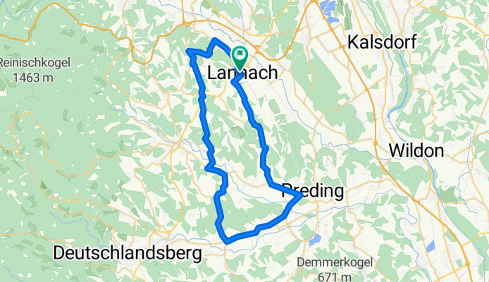
lannach-gießenberg-pirkhof-rossegg-neudorf-groß st. florian-wetzelsdorfberg
A cycling route starting in Lannach, Styria, Austria.
Overview
About this route
super schöne strecke von lannach über gießenberg entlang der bergrücken von pirkhof und rossegg, sensationelle landschaft, danach richtung groß st. florian im tal mit anstieg in neudorf, über wetzelsdorfberg und lannachberg wieder mit herrlichem panoramablick zurück nach lannach
- -:--
- Duration
- 45.7 km
- Distance
- 374 m
- Ascent
- 374 m
- Descent
- ---
- Avg. speed
- ---
- Max. altitude
Route quality
Waytypes & surfaces along the route
Waytypes
Busy road
15.2 km
(33 %)
Quiet road
15.2 km
(33 %)
Surfaces
Paved
11.3 km
(25 %)
Asphalt
11.3 km
(25 %)
Undefined
34.3 km
(75 %)
Continue with Bikemap
Use, edit, or download this cycling route
You would like to ride lannach-gießenberg-pirkhof-rossegg-neudorf-groß st. florian-wetzelsdorfberg or customize it for your own trip? Here is what you can do with this Bikemap route:
Free features
- Save this route as favorite or in collections
- Copy & plan your own version of this route
- Sync your route with Garmin or Wahoo
Premium features
Free trial for 3 days, or one-time payment. More about Bikemap Premium.
- Navigate this route on iOS & Android
- Export a GPX / KML file of this route
- Create your custom printout (try it for free)
- Download this route for offline navigation
Discover more Premium features.
Get Bikemap PremiumFrom our community
Other popular routes starting in Lannach
 Hauptstraße 68, Heuholz nach Hauptstraße 68, Heuholz
- Distance
- 40.3 km
- Ascent
- 715 m
- Descent
- 714 m
- Location
- Lannach, Styria, Austria
 Weststeiermark
- Distance
- 21.1 km
- Ascent
- 661 m
- Descent
- 403 m
- Location
- Lannach, Styria, Austria
 Radteam Lannach Gemeinderadtag am 29. Mai 2011 (Strecke A "LIGHT/FAMILY", 33 km); PINK
- Distance
- 33.3 km
- Ascent
- 165 m
- Descent
- 165 m
- Location
- Lannach, Styria, Austria
 Radteam Lannach Gemeinderadtag am 29. Mai 2011 (Strecke B "MITTEL", 51 km); GRÜN
- Distance
- 50.7 km
- Ascent
- 334 m
- Descent
- 334 m
- Location
- Lannach, Styria, Austria
 Lannach-Reinischkogel
- Distance
- 26.6 km
- Ascent
- 1,290 m
- Descent
- 169 m
- Location
- Lannach, Styria, Austria
 2. Lannacher Radmarathon am 17.6.2012 - Strecke C
- Distance
- 111.2 km
- Ascent
- 1,193 m
- Descent
- 1,190 m
- Location
- Lannach, Styria, Austria
 Lannacher E-Bike-Radstrecke
- Distance
- 49.2 km
- Ascent
- 719 m
- Descent
- 719 m
- Location
- Lannach, Styria, Austria
 Lannach Stainz
- Distance
- 12.8 km
- Ascent
- 205 m
- Descent
- 212 m
- Location
- Lannach, Styria, Austria
Open it in the app