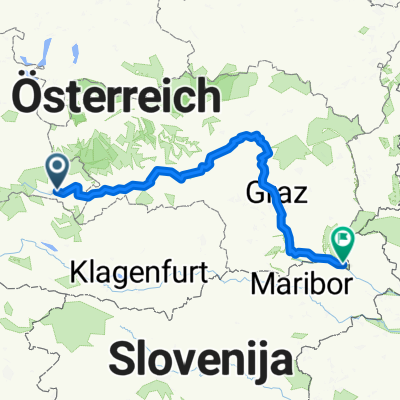
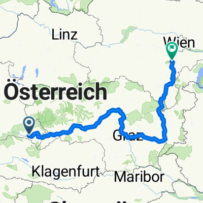
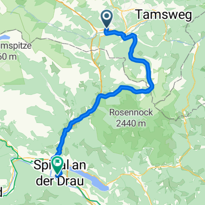
Muhrradweg
A cycling route starting in St Michael im Lungau, Salzburg, Austria.
Overview
About this route
- -:--
- Duration
- 19 km
- Distance
- 89 m
- Ascent
- 90 m
- Descent
- ---
- Avg. speed
- ---
- Avg. speed
Route highlights
Points of interest along the route
Point of interest after 9.7 km
panorama blick
Point of interest after 9.7 km
schlösschen am weg
Point of interest after 16.1 km
der berg dampft und ich auch 🚵🏻
Point of interest after 16.8 km
alle wege gehen nach oben 😁
Continue with Bikemap
Use, edit, or download this cycling route
You would like to ride Muhrradweg or customize it for your own trip? Here is what you can do with this Bikemap route:
Free features
- Save this route as favorite or in collections
- Copy & plan your own version of this route
- Sync your route with Garmin or Wahoo
Premium features
Free trial for 3 days, or one-time payment. More about Bikemap Premium.
- Navigate this route on iOS & Android
- Export a GPX / KML file of this route
- Create your custom printout (try it for free)
- Download this route for offline navigation
Discover more Premium features.
Get Bikemap PremiumFrom our community
Other popular routes starting in St Michael im Lungau
- Gontal Route 03 (Lungau)
- Distance
- 36.7 km
- Ascent
- 1,140 m
- Descent
- 1,140 m
- Location
- St Michael im Lungau, Salzburg, Austria
- Route nach Bad Blumau
- Distance
- 278.4 km
- Ascent
- 4,185 m
- Descent
- 4,991 m
- Location
- St Michael im Lungau, Salzburg, Austria
- okruh jih
- Distance
- 40.5 km
- Ascent
- 1,265 m
- Descent
- 1,277 m
- Location
- St Michael im Lungau, Salzburg, Austria
- Speiereck Route
- Distance
- 32.7 km
- Ascent
- 1,739 m
- Descent
- 1,739 m
- Location
- St Michael im Lungau, Salzburg, Austria
- St. Michael - Murau
- Distance
- 49.9 km
- Ascent
- 206 m
- Descent
- 424 m
- Location
- St Michael im Lungau, Salzburg, Austria
- Radrunde um Sankt Michael
- Distance
- 10 km
- Ascent
- 160 m
- Descent
- 159 m
- Location
- St Michael im Lungau, Salzburg, Austria
- Murradweg 1
- Distance
- 92 km
- Ascent
- 314 m
- Descent
- 591 m
- Location
- St Michael im Lungau, Salzburg, Austria
- RR-Berg: St.Michael - Flattnitz - Metnitztal - Gurktal - FE - HA
- Distance
- 137.6 km
- Ascent
- 876 m
- Descent
- 1,358 m
- Location
- St Michael im Lungau, Salzburg, Austria
Open it in the app