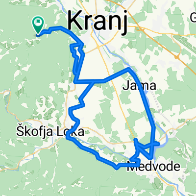
Spodnje Bitnje - Vršič - Mangartsko sedlo - Spodnje Bitnje
A cycling route starting in Zgornje Bitnje, Kranj, Slovenia.
Overview
About this route
-
dan: Spodnje Bitnje - Kranj - Bled - Jesenice - Planica - Kranjska Gora - Vršič - Bovec - Log pod Mangartom - tukaj prespimo - cca 120km
-
dan: Log pod Mangartom - Mangartsko sedlo - Bovec - cca 30km. Ostali del dneva pa namenimo razvajanju v okolici
-
dan: Bovec - Most na Soči - Spodnja Sorica (?) - Železniki - Spodnje Bitnje: cca 100km. Zaključimo z žarom in pivom
- -:--
- Duration
- 283.1 km
- Distance
- 3,510 m
- Ascent
- 3,510 m
- Descent
- ---
- Avg. speed
- ---
- Max. altitude
Continue with Bikemap
Use, edit, or download this cycling route
You would like to ride Spodnje Bitnje - Vršič - Mangartsko sedlo - Spodnje Bitnje or customize it for your own trip? Here is what you can do with this Bikemap route:
Free features
- Save this route as favorite or in collections
- Copy & plan your own version of this route
- Split it into stages to create a multi-day tour
- Sync your route with Garmin or Wahoo
Premium features
Free trial for 3 days, or one-time payment. More about Bikemap Premium.
- Navigate this route on iOS & Android
- Export a GPX / KML file of this route
- Create your custom printout (try it for free)
- Download this route for offline navigation
Discover more Premium features.
Get Bikemap PremiumFrom our community
Other popular routes starting in Zgornje Bitnje
- Kranj - Ljubljana - Vodice - Kranj
- Distance
- 64.4 km
- Ascent
- 570 m
- Descent
- 626 m
- Location
- Zgornje Bitnje, Kranj, Slovenia
- Popoldanski krogec: Dušanka, Marjan
- Distance
- 26.1 km
- Ascent
- 161 m
- Descent
- 194 m
- Location
- Zgornje Bitnje, Kranj, Slovenia
- V Ljubljano na razstavo v Tivoli
- Distance
- 55.7 km
- Ascent
- 467 m
- Descent
- 519 m
- Location
- Zgornje Bitnje, Kranj, Slovenia
- čepulje- križna
- Distance
- 23.1 km
- Ascent
- 511 m
- Descent
- 510 m
- Location
- Zgornje Bitnje, Kranj, Slovenia
- Čepulje - Sv. Ožbolt
- Distance
- 46.3 km
- Ascent
- 1,675 m
- Descent
- 1,746 m
- Location
- Zgornje Bitnje, Kranj, Slovenia
- 1.vožnja cez polje
- Distance
- 8.8 km
- Ascent
- 12 m
- Descent
- 12 m
- Location
- Zgornje Bitnje, Kranj, Slovenia
- JavornikZbiljeJavornik
- Distance
- 55 km
- Ascent
- 420 m
- Descent
- 420 m
- Location
- Zgornje Bitnje, Kranj, Slovenia
- Čeplje - Rovtarica
- Distance
- 43.3 km
- Ascent
- 1,387 m
- Descent
- 1,622 m
- Location
- Zgornje Bitnje, Kranj, Slovenia
Open it in the app