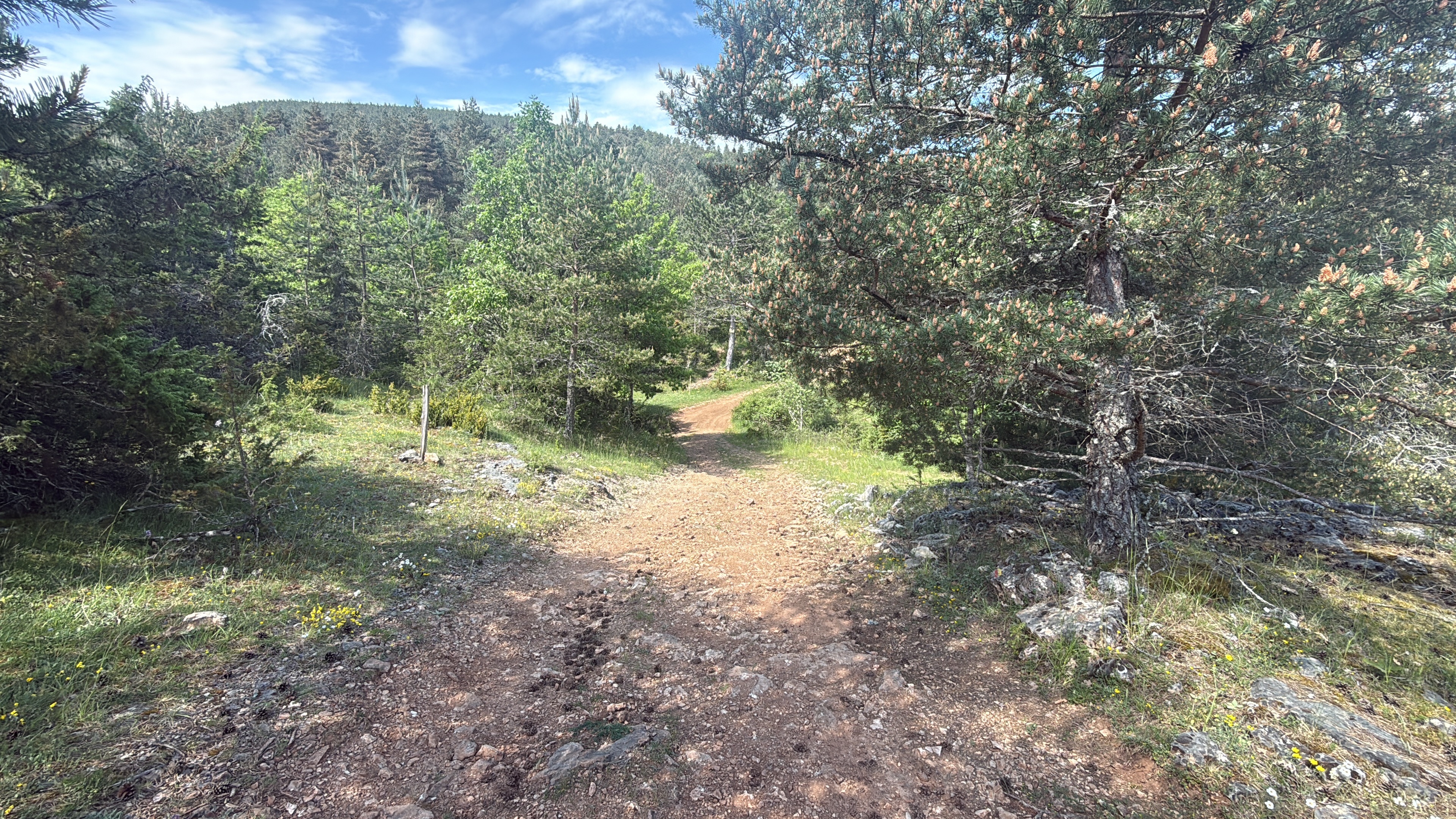
LOZERE -TARN - 104 KM - mt aigoual
A cycling route starting in Florac, Languedoc-Roussillon-Midi-Pyrénées, France.
Overview
About this route
- -:--
- Duration
- 103.3 km
- Distance
- 1,412 m
- Ascent
- 1,417 m
- Descent
- ---
- Avg. speed
- ---
- Avg. speed
Route quality
Waytypes & surfaces along the route
Waytypes
Busy road
77 km
(75 %)
Road
12.5 km
(12 %)
Surfaces
Paved
83 km
(80 %)
Unpaved
0.7 km
(<1 %)
Asphalt
83 km
(80 %)
Gravel
0.5 km
(<1 %)
Route highlights
Points of interest along the route
Drinking water after 46.5 km
Continue with Bikemap
Use, edit, or download this cycling route
You would like to ride LOZERE -TARN - 104 KM - mt aigoual or customize it for your own trip? Here is what you can do with this Bikemap route:
Free features
- Save this route as favorite or in collections
- Copy & plan your own version of this route
- Sync your route with Garmin or Wahoo
Premium features
Free trial for 3 days, or one-time payment. More about Bikemap Premium.
- Navigate this route on iOS & Android
- Export a GPX / KML file of this route
- Create your custom printout (try it for free)
- Download this route for offline navigation
Discover more Premium features.
Get Bikemap PremiumFrom our community
Other popular routes starting in Florac
- Sept2021 - 4/5
- Distance
- 158.6 km
- Ascent
- 2,822 m
- Descent
- 2,823 m
- Location
- Florac, Languedoc-Roussillon-Midi-Pyrénées, France
- 2016 Ride Day 160 - Ispagnac to Rivière-sur-Tarn
- Distance
- 64.3 km
- Ascent
- 789 m
- Descent
- 935 m
- Location
- Florac, Languedoc-Roussillon-Midi-Pyrénées, France
- Sept2021 - 1/5
- Distance
- 106.5 km
- Ascent
- 1,683 m
- Descent
- 1,678 m
- Location
- Florac, Languedoc-Roussillon-Midi-Pyrénées, France
- Südfrankreich 2011: 8 - Florac - Alès über Corniche des Cévennes
- Distance
- 96.1 km
- Ascent
- 904 m
- Descent
- 1,310 m
- Location
- Florac, Languedoc-Roussillon-Midi-Pyrénées, France
- Barre de Cevennes - Col de Finiels
- Distance
- 41.7 km
- Ascent
- 1,223 m
- Descent
- 622 m
- Location
- Florac, Languedoc-Roussillon-Midi-Pyrénées, France
- Tour du mont Lozère
- Distance
- 91.4 km
- Ascent
- 1,617 m
- Descent
- 1,617 m
- Location
- Florac, Languedoc-Roussillon-Midi-Pyrénées, France
- Montbrun, Gorges du Tarn Causses nach Montbrun, Gorges du Tarn Causses
- Distance
- 15.9 km
- Ascent
- 292 m
- Descent
- 306 m
- Location
- Florac, Languedoc-Roussillon-Midi-Pyrénées, France
- LOZERE -TARN - 104 KM - mt aigoual
- Distance
- 103.3 km
- Ascent
- 1,412 m
- Descent
- 1,417 m
- Location
- Florac, Languedoc-Roussillon-Midi-Pyrénées, France