

Hinterzarten - Titisee - Bärenthal
A cycling route starting in Hinterzarten, Baden-Wurttemberg, Germany.
Overview
About this route
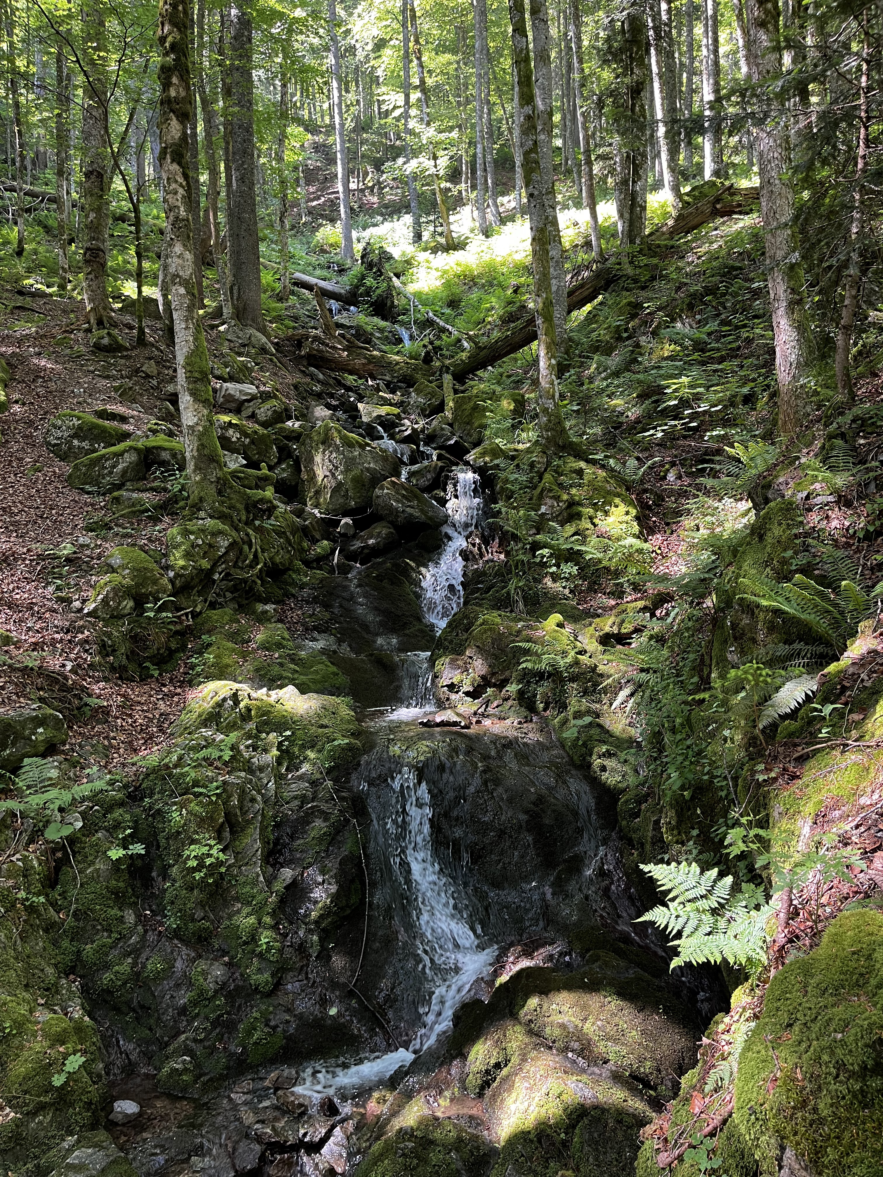
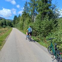
Kleine feine Runde durch Hinterzarten, am Titisee vorbei nach Bärenthal und wieder zurück nach Hinterzarten.
Wer die Steigung am Westweg vermeiden möchte, nimmt am südwestlichen Ende vom Titisee die Bruderhalde bis nach Bärenthal.
- -:--
- Duration
- 19.6 km
- Distance
- 387 m
- Ascent
- 379 m
- Descent
- ---
- Avg. speed
- 1,033 m
- Max. altitude

Route quality
Waytypes & surfaces along the route
Waytypes
Track
7.4 km
(38 %)
Quiet road
7 km
(35 %)
Surfaces
Paved
11.3 km
(58 %)
Unpaved
8.1 km
(41 %)
Asphalt
11.3 km
(58 %)
Gravel
7.9 km
(40 %)
Continue with Bikemap
Use, edit, or download this cycling route
You would like to ride Hinterzarten - Titisee - Bärenthal or customize it for your own trip? Here is what you can do with this Bikemap route:
Free features
- Save this route as favorite or in collections
- Copy & plan your own version of this route
- Sync your route with Garmin or Wahoo
Premium features
Free trial for 3 days, or one-time payment. More about Bikemap Premium.
- Navigate this route on iOS & Android
- Export a GPX / KML file of this route
- Create your custom printout (try it for free)
- Download this route for offline navigation
Discover more Premium features.
Get Bikemap PremiumFrom our community
Other popular routes starting in Hinterzarten
 Black Forest Ultra Bike 42km
- Distance
- 40.1 km
- Ascent
- 753 m
- Descent
- 1,290 m
- Location
- Hinterzarten, Baden-Wurttemberg, Germany
 Rund um den Feldberg ...
- Distance
- 47.2 km
- Ascent
- 1,274 m
- Descent
- 1,273 m
- Location
- Hinterzarten, Baden-Wurttemberg, Germany
 47.893, 8.136 nach 47.864, 8.022
- Distance
- 16 km
- Ascent
- 682 m
- Descent
- 129 m
- Location
- Hinterzarten, Baden-Wurttemberg, Germany
 Titisee 1
- Distance
- 18.2 km
- Ascent
- 366 m
- Descent
- 366 m
- Location
- Hinterzarten, Baden-Wurttemberg, Germany
 Vorderfalkau-Äulemer Kreuz-Feldberg-Bärental-Vorderfalkau
- Distance
- 28.6 km
- Ascent
- 684 m
- Descent
- 609 m
- Location
- Hinterzarten, Baden-Wurttemberg, Germany
 Zartenbachweg, Hinterzarten nach Zartenbachweg, Hinterzarten
- Distance
- 31.5 km
- Ascent
- 577 m
- Descent
- 576 m
- Location
- Hinterzarten, Baden-Wurttemberg, Germany
 Bärental, Schluchsee, Rothaus, Bonndorf, Lenzkirch, Bärental
- Distance
- 55.7 km
- Ascent
- 617 m
- Descent
- 617 m
- Location
- Hinterzarten, Baden-Wurttemberg, Germany
 Hinterzarten - Titisee - Bärenthal
- Distance
- 19.6 km
- Ascent
- 387 m
- Descent
- 379 m
- Location
- Hinterzarten, Baden-Wurttemberg, Germany
Open it in the app