
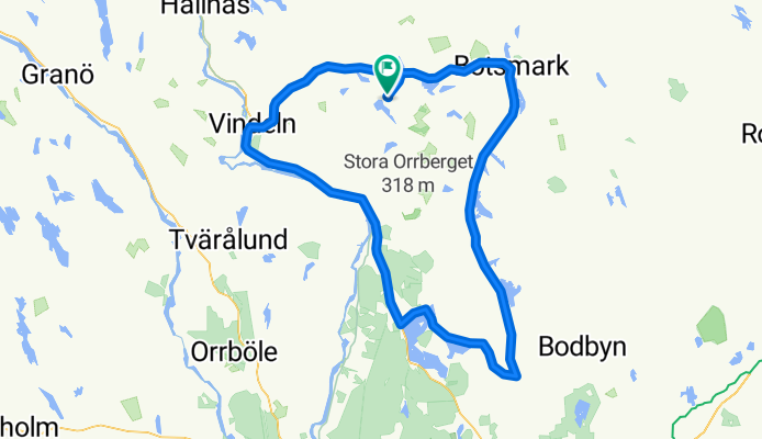
Vindel-Ånäset - Tavelsjö - Vindeln
A cycling route starting in Vindeln, Västerbotten County, Sweden.
Overview
About this route
Vindel-Ånäset - Botsmark - Flurkmark - Tavelsjö - Vindeln
- -:--
- Duration
- 112.4 km
- Distance
- 0 m
- Ascent
- 0 m
- Descent
- ---
- Avg. speed
- ---
- Max. altitude
Route quality
Waytypes & surfaces along the route
Waytypes
Road
19.1 km
(17 %)
Quiet road
3.4 km
(3 %)
Surfaces
Paved
63 km
(56 %)
Asphalt
63 km
(56 %)
Undefined
49.5 km
(44 %)
Continue with Bikemap
Use, edit, or download this cycling route
You would like to ride Vindel-Ånäset - Tavelsjö - Vindeln or customize it for your own trip? Here is what you can do with this Bikemap route:
Free features
- Save this route as favorite or in collections
- Copy & plan your own version of this route
- Split it into stages to create a multi-day tour
- Sync your route with Garmin or Wahoo
Premium features
Free trial for 3 days, or one-time payment. More about Bikemap Premium.
- Navigate this route on iOS & Android
- Export a GPX / KML file of this route
- Create your custom printout (try it for free)
- Download this route for offline navigation
Discover more Premium features.
Get Bikemap PremiumFrom our community
Other popular routes starting in Vindeln
 Vindel-Ånäset - Tavelsjö - Vindeln
- Distance
- 112.4 km
- Ascent
- 0 m
- Descent
- 0 m
- Location
- Vindeln, Västerbotten County, Sweden
Open it in the app