Oberdiessbach, Röthenbach, Signau, Konolfingen,Oberdiessbach
- 46.4 km
- 380 m
- 440 m
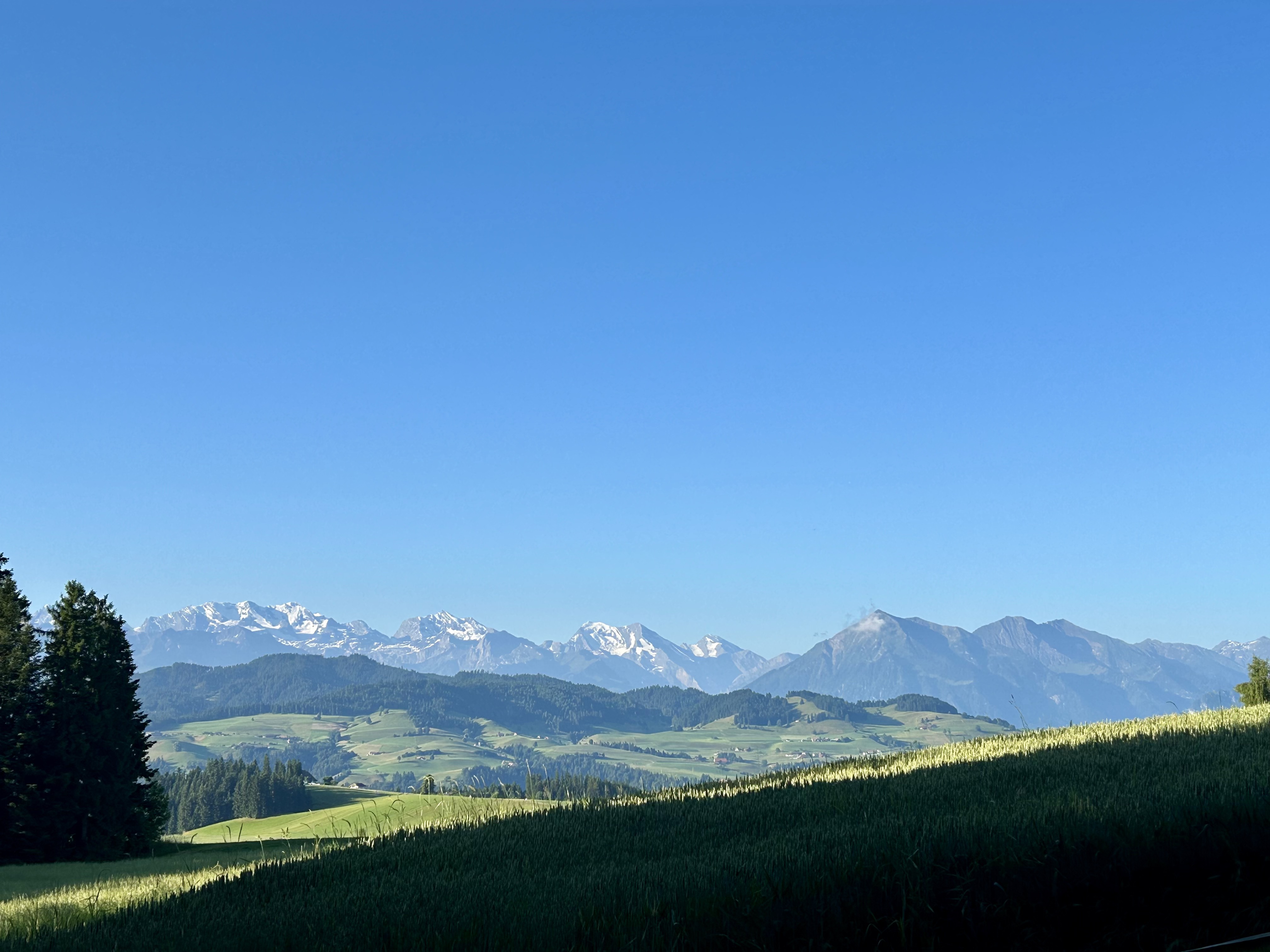
- Oberdiessbach, Canton of Bern, Switzerland
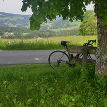
A cycling route starting in Oberdiessbach, Canton of Bern, Switzerland.
Overview
created this 9 years ago
Route quality
Road
74.8 km
(31 %)
Quiet road
74.8 km
(31 %)
Paved
154.4 km
(64 %)
Unpaved
21.7 km
(9 %)
Asphalt
127.9 km
(53 %)
Concrete
19.3 km
(8 %)
Continue with Bikemap
You would like to ride Oberdiessbach - Montagny or customize it for your own trip? Here is what you can do with this Bikemap route:
Free trial for 3 days, or one-time payment. More about Bikemap Premium.
Discover more Premium features.
Get Bikemap PremiumFrom our community
Open it in the app