
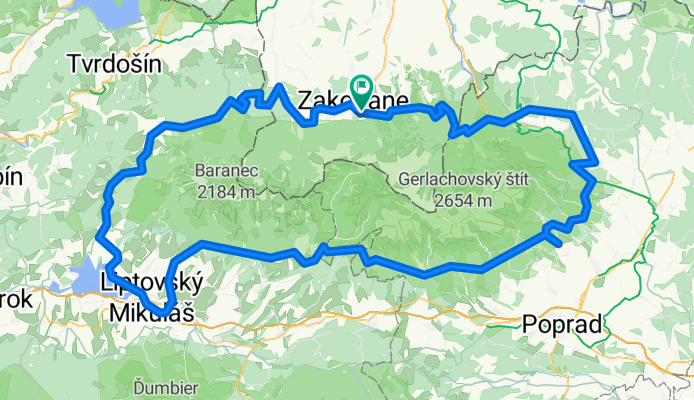
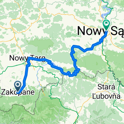
Wyprawa wokół Tatr
A cycling route starting in Zakopane, Lesser Poland Voivodeship, Poland.
Overview
About this route
- -:--
- Duration
- 203.9 km
- Distance
- 2,064 m
- Ascent
- 2,060 m
- Descent
- ---
- Avg. speed
- ---
- Max. altitude

Route quality
Waytypes & surfaces along the route
Waytypes
Road
57.1 km
(28 %)
Track
53 km
(26 %)
Surfaces
Paved
132.5 km
(65 %)
Unpaved
46.9 km
(23 %)
Asphalt
128.4 km
(63 %)
Unpaved (undefined)
22.4 km
(11 %)
Route highlights
Points of interest along the route
Point of interest after 21.9 km
Ostry podjazd
Point of interest after 22.8 km
Zejście wzdłuż strumienia w wąwozie.
Point of interest after 52.8 km
Punkty widokowe
Point of interest after 63 km
Nocleg nad Jeziorem
Continue with Bikemap
Use, edit, or download this cycling route
You would like to ride Wyprawa wokół Tatr or customize it for your own trip? Here is what you can do with this Bikemap route:
Free features
- Save this route as favorite or in collections
- Copy & plan your own version of this route
- Split it into stages to create a multi-day tour
- Sync your route with Garmin or Wahoo
Premium features
Free trial for 3 days, or one-time payment. More about Bikemap Premium.
- Navigate this route on iOS & Android
- Export a GPX / KML file of this route
- Create your custom printout (try it for free)
- Download this route for offline navigation
Discover more Premium features.
Get Bikemap PremiumFrom our community
Other popular routes starting in Zakopane
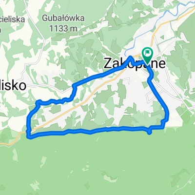 szlak 2
- Distance
- 12.7 km
- Ascent
- 366 m
- Descent
- 406 m
- Location
- Zakopane, Lesser Poland Voivodeship, Poland
 Day 2 Easier option
- Distance
- 15.5 km
- Ascent
- 661 m
- Descent
- 664 m
- Location
- Zakopane, Lesser Poland Voivodeship, Poland
 04.10.20 Jaskinia Mylna
- Distance
- 32.8 km
- Ascent
- 999 m
- Descent
- 946 m
- Location
- Zakopane, Lesser Poland Voivodeship, Poland
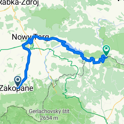 VeloDunajec (z objazdami brakujących odcinków)
- Distance
- 82.8 km
- Ascent
- 889 m
- Descent
- 1,282 m
- Location
- Zakopane, Lesser Poland Voivodeship, Poland
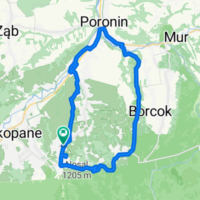
 Zakopane - Wierch Poroniec - Głodówka - Bukowina - Zakopane
- Distance
- 36.3 km
- Ascent
- 563 m
- Descent
- 563 m
- Location
- Zakopane, Lesser Poland Voivodeship, Poland
 VeloDunajec
- Distance
- 132 km
- Ascent
- 1,439 m
- Descent
- 1,977 m
- Location
- Zakopane, Lesser Poland Voivodeship, Poland
 Guty 3b, Zakopane do Trzech Koron 34a, Sromowce Niżne
- Distance
- 81.8 km
- Ascent
- 1,945 m
- Descent
- 2,262 m
- Location
- Zakopane, Lesser Poland Voivodeship, Poland
 Route in Zakopane
- Distance
- 20.7 km
- Ascent
- 389 m
- Descent
- 389 m
- Location
- Zakopane, Lesser Poland Voivodeship, Poland
Open it in the app